Elevation of 11, Drawbridge, MD, USA
Location: United States > Maryland > Dorchester County >
Longitude: -75.911483
Latitude: 38.39332
Elevation: 0m / 0feet
Barometric Pressure: 101KPa
Elevation Map:
Satellite Map:
Related Photos:

Storm and Mist
'Ats a lot of blue, eh?

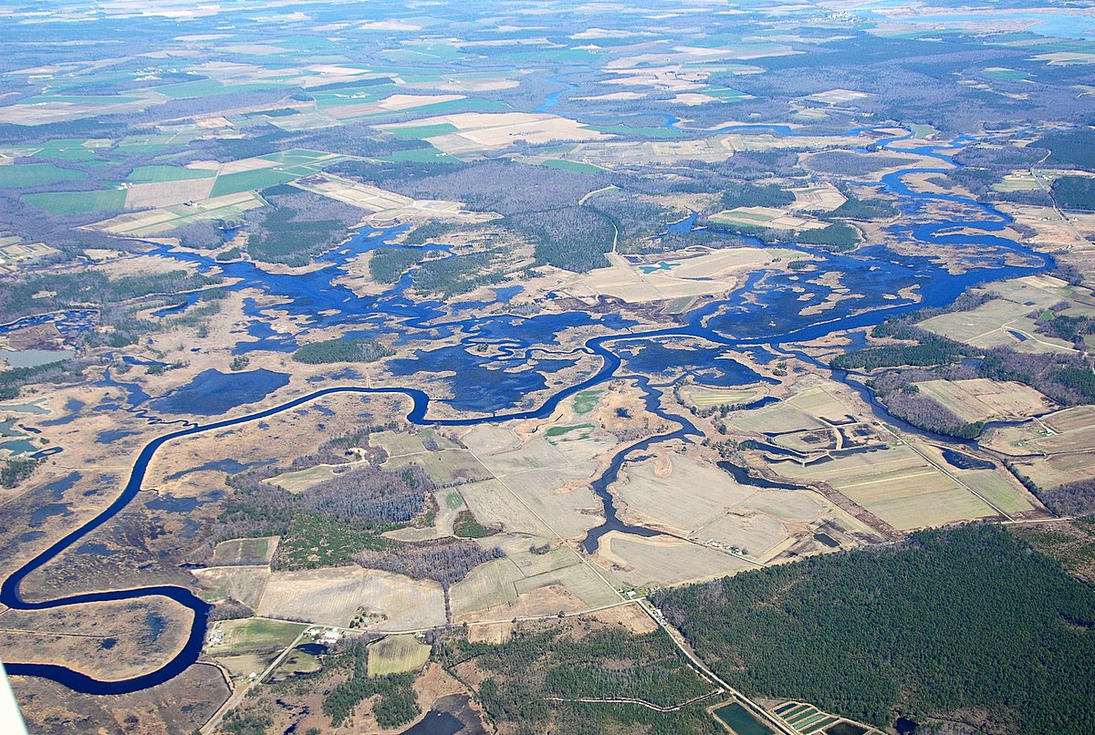
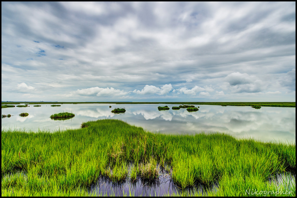
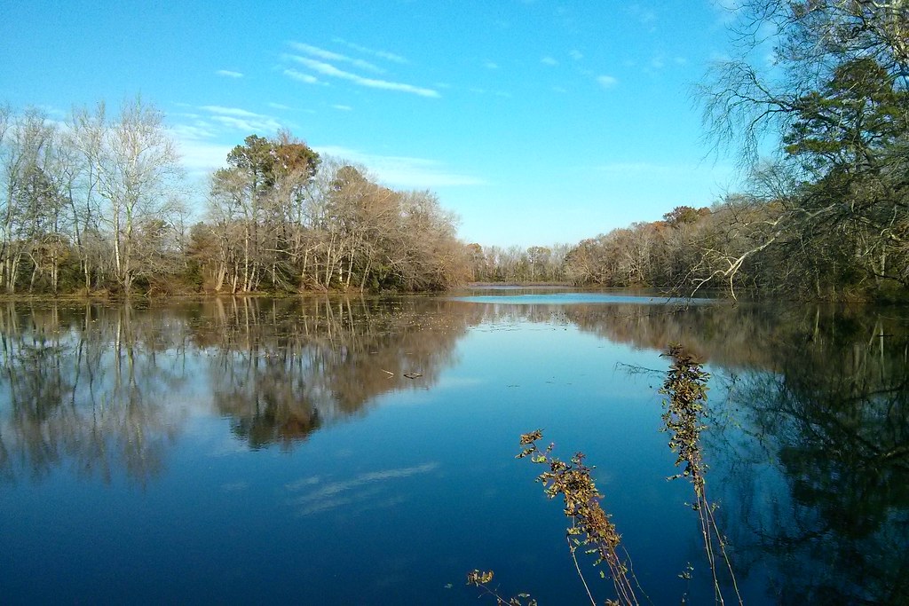
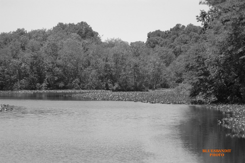
Nanticoke River Wetlands

Nanticoke River Wetlands
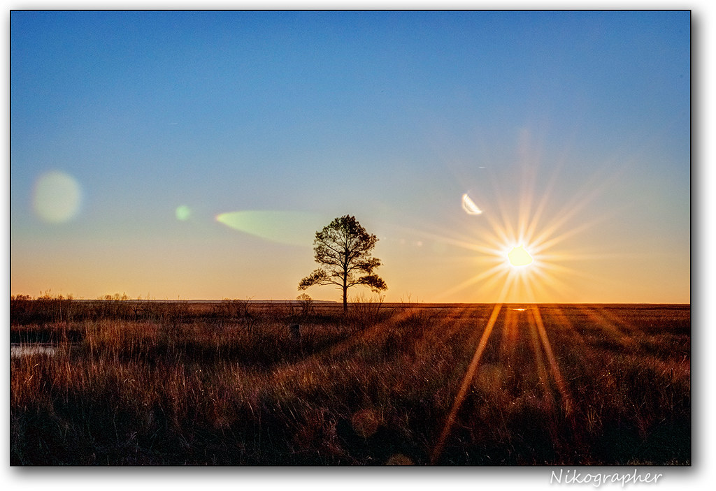
Sunrise Over the Nanticoke 1

Nanticoke River Wetlands
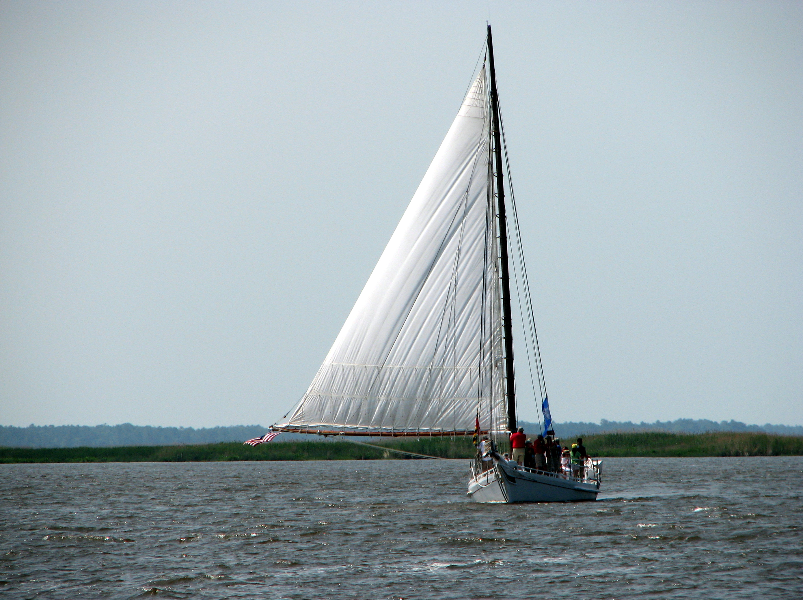
The Skipjack "Nathan of Dorchester"

How To Make A Flint Knife Edge
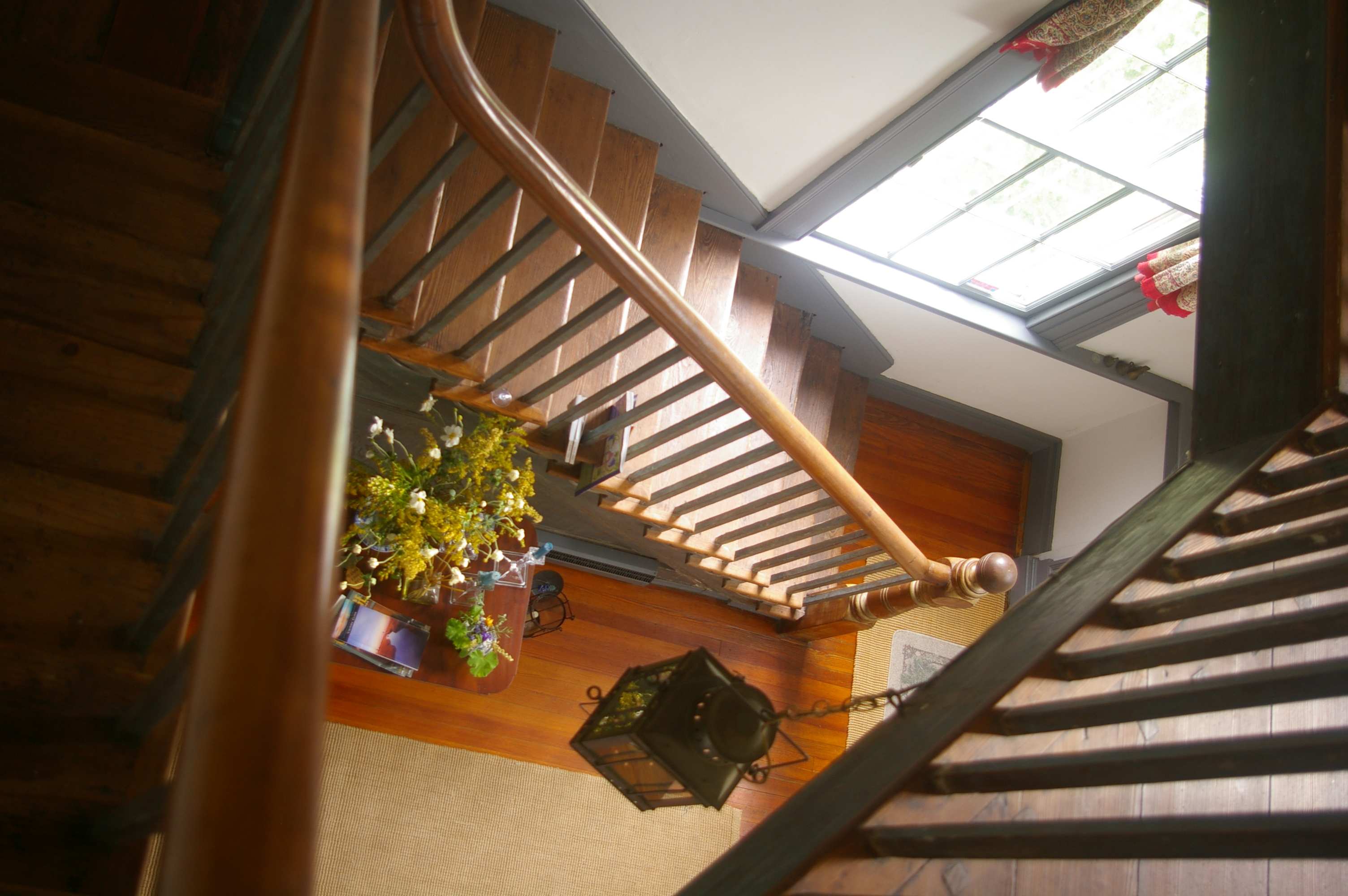
View Down the Stairs
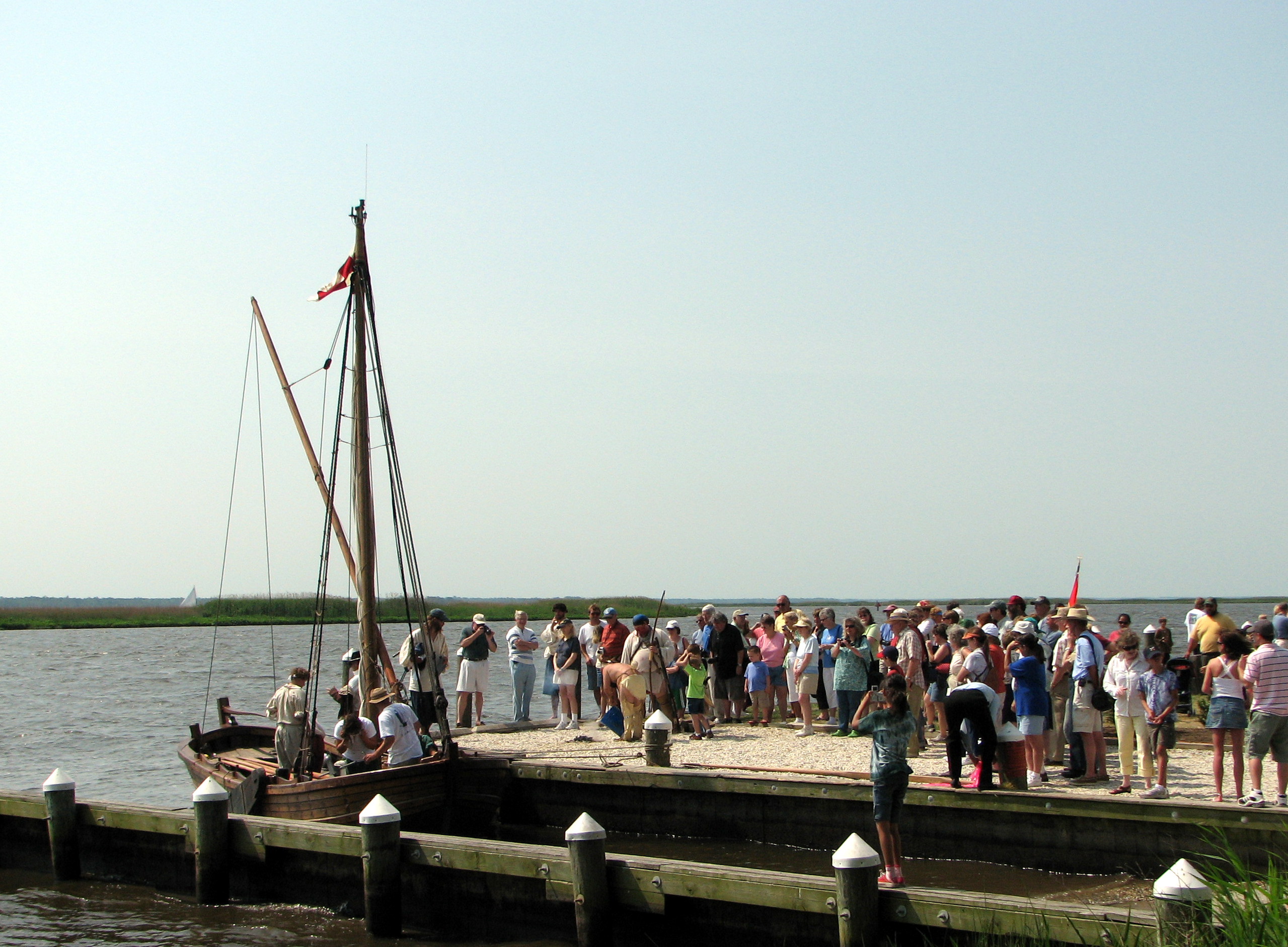
Checking Out The Shallop
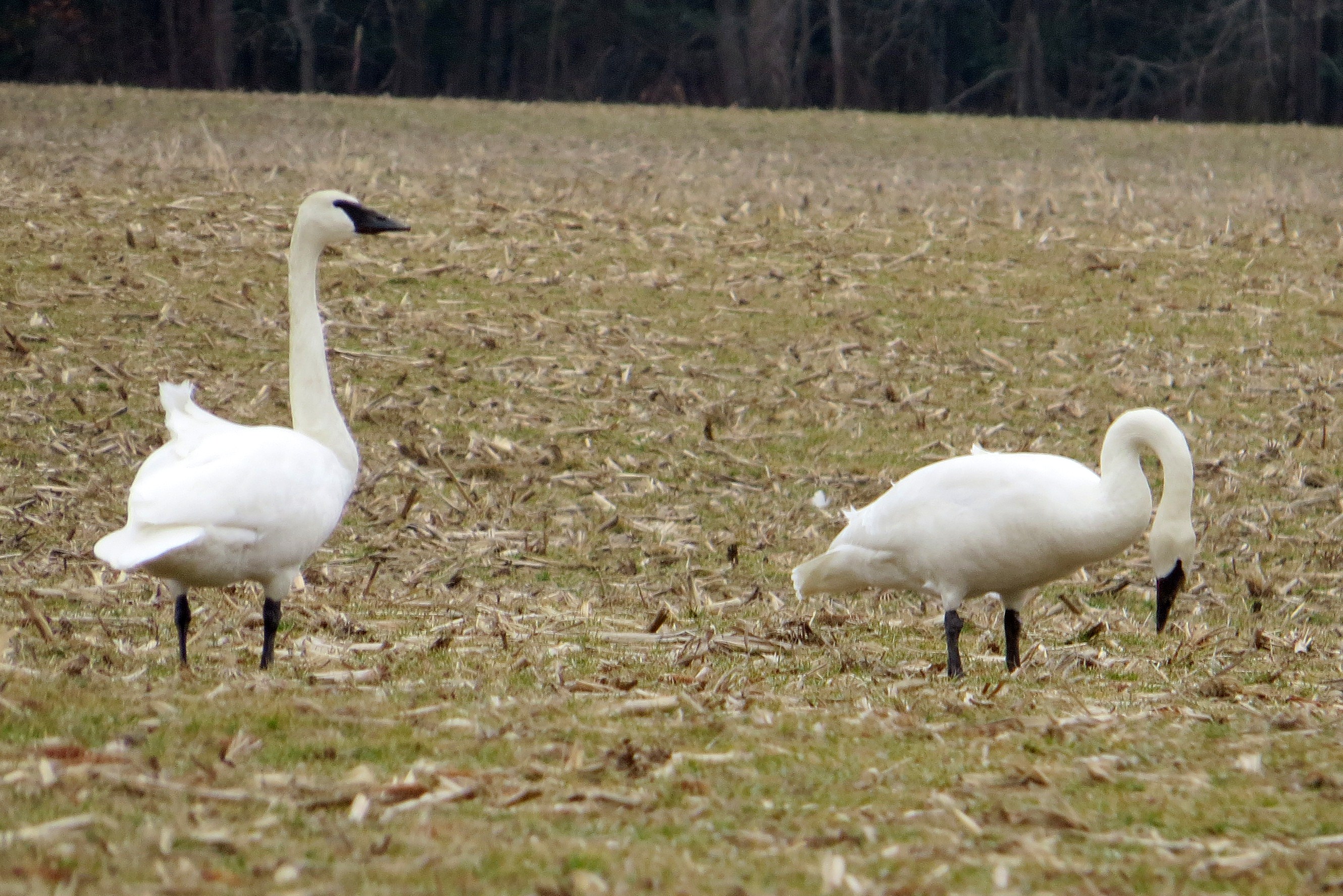
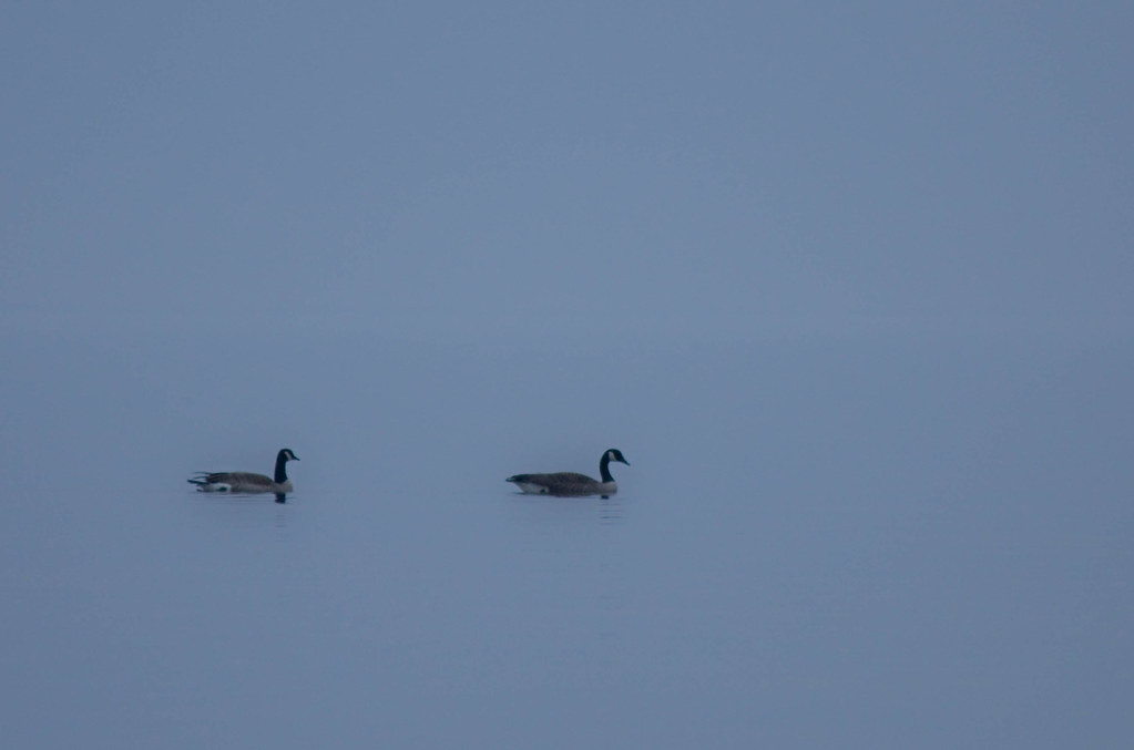
Trumpeter Swan
Bird's Eye View
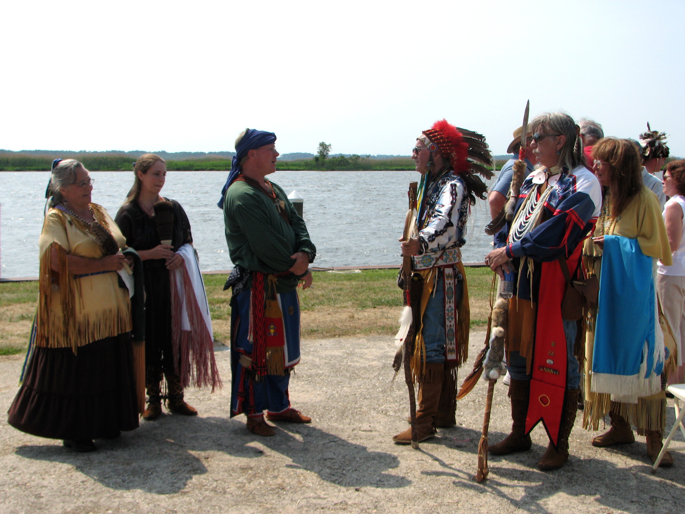
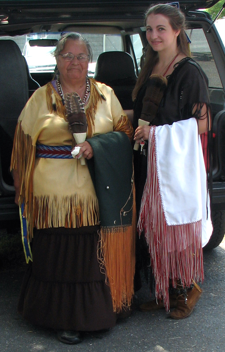
The People Who Greeted Captain John Smith

The People Who Greeted Captain John Smith
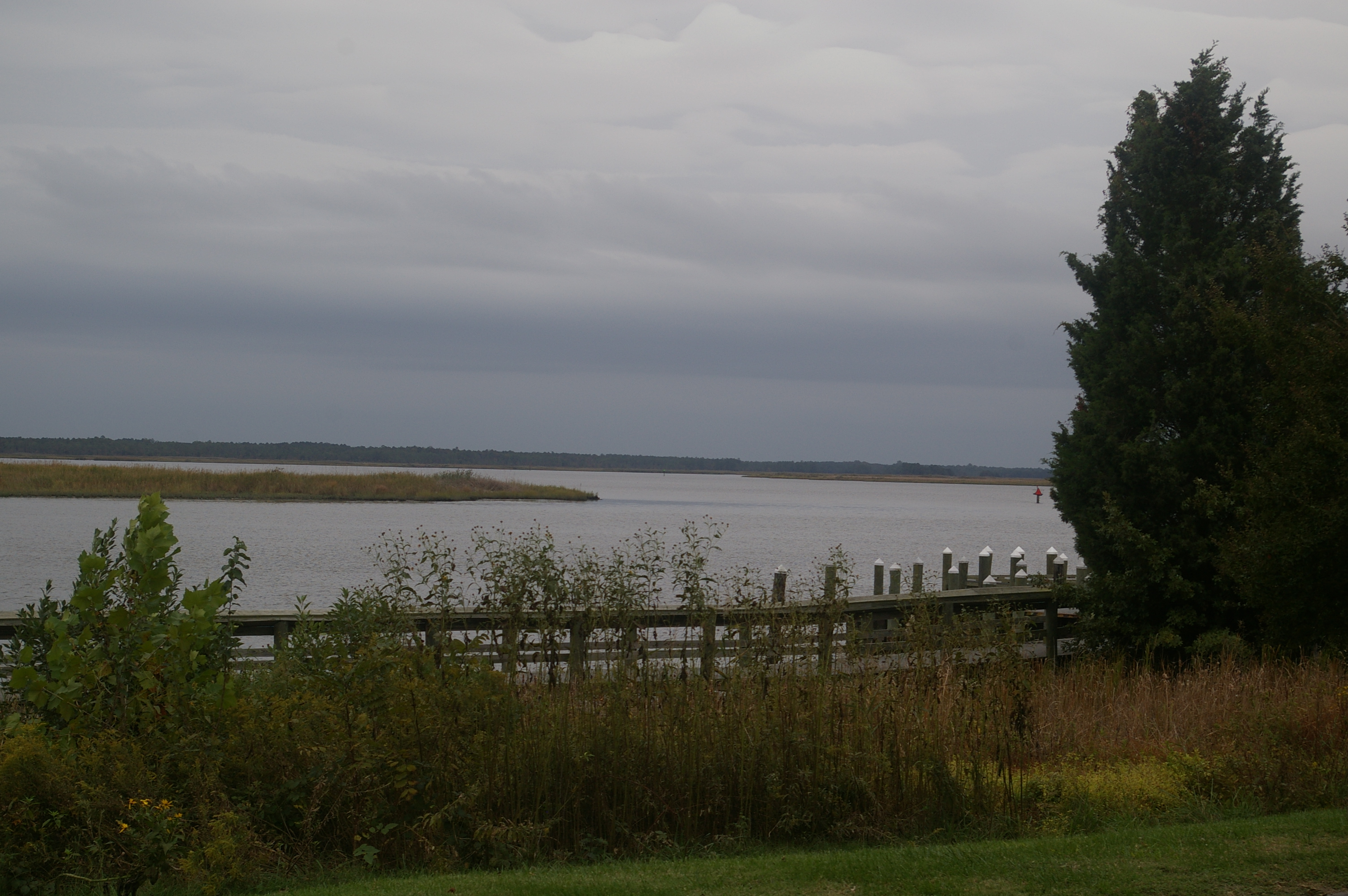
View Across the Nanticoke
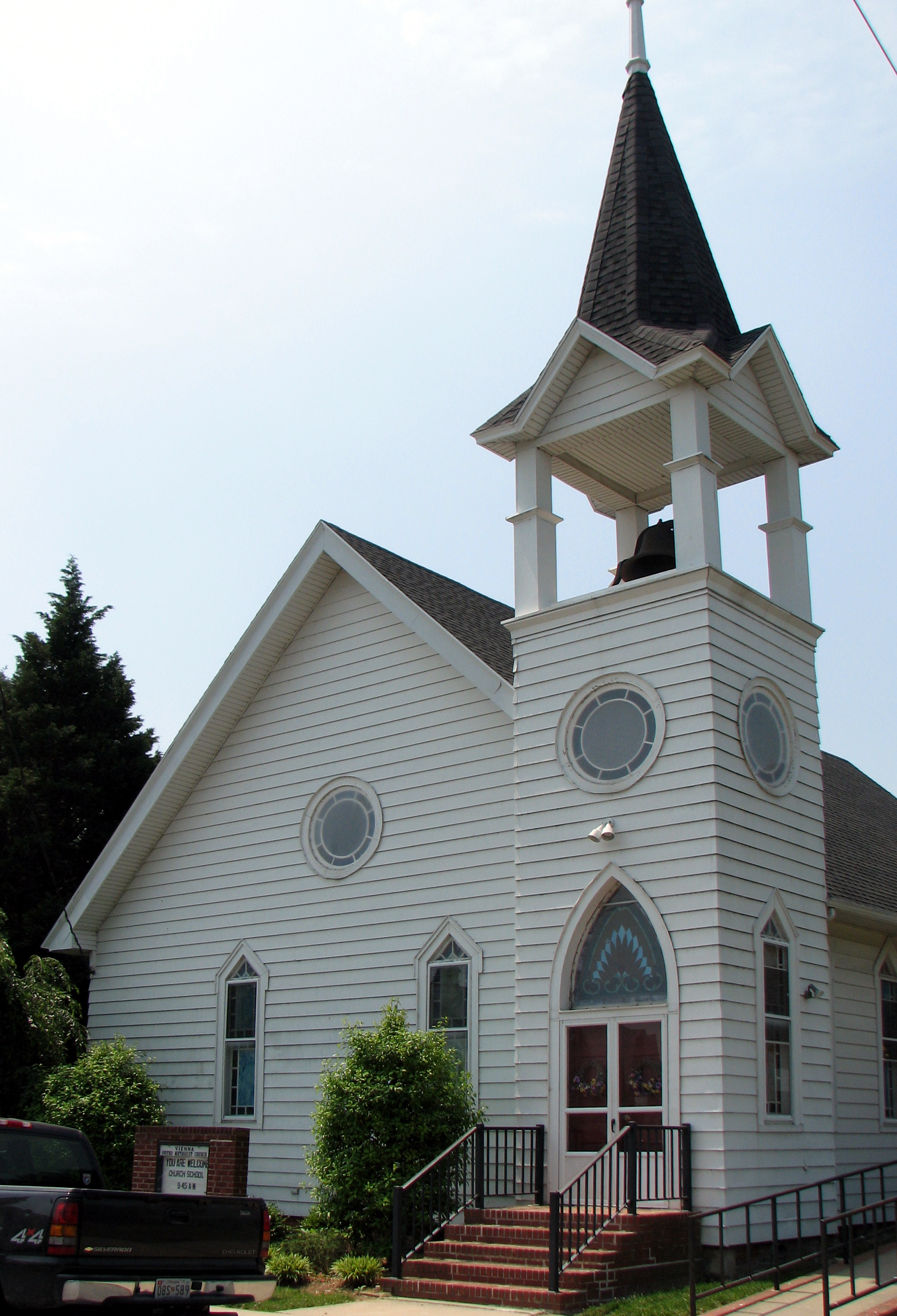
Vienna U.M. Church
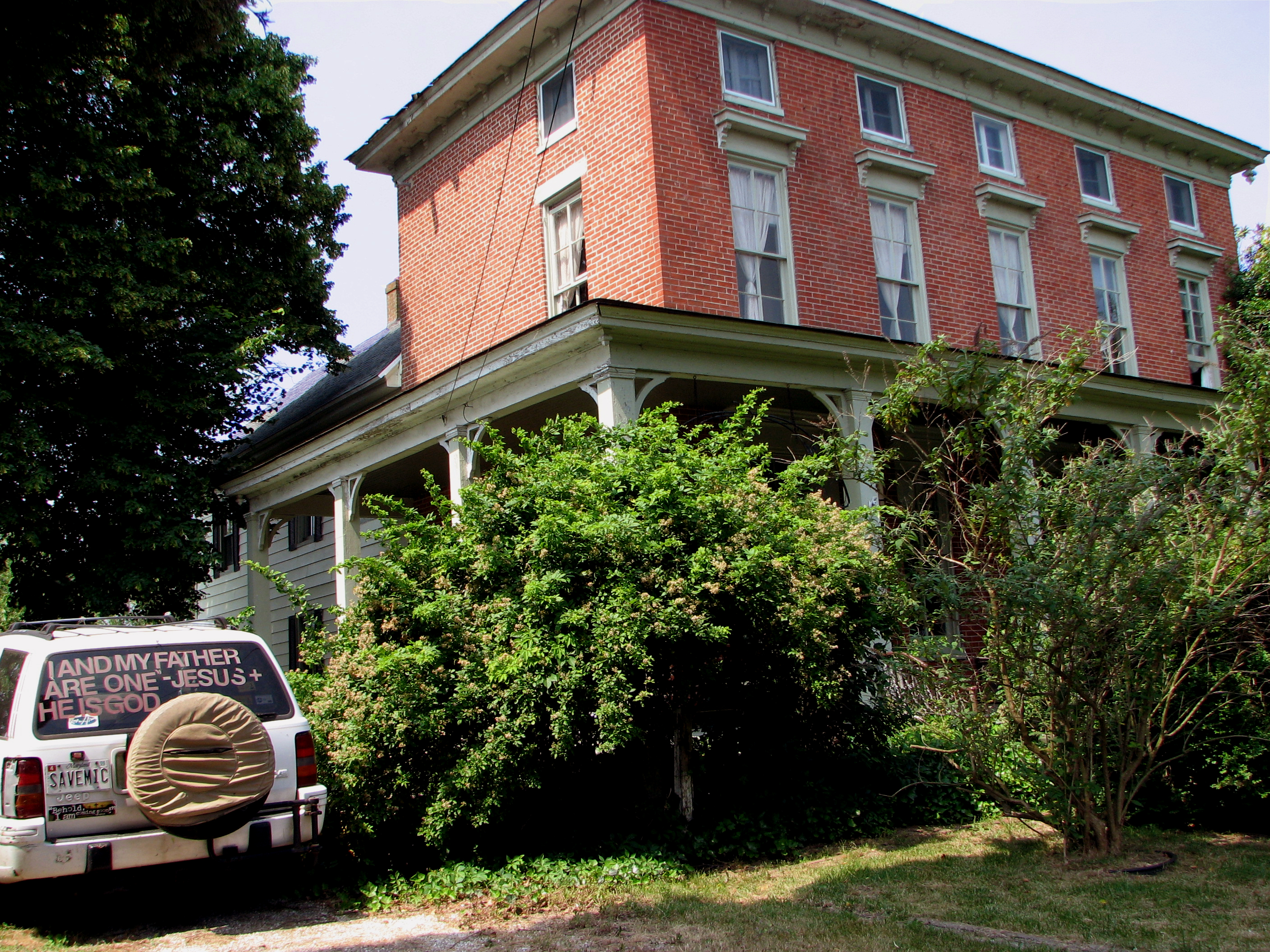
Nanticoke Manor, Vienna, Maryland

Into His Heritage

Checking It Out
Youth and Age

A Day in June
National Treasure!
Sunrise @ Blackwater
Sunrise Over the Nanticoke 2
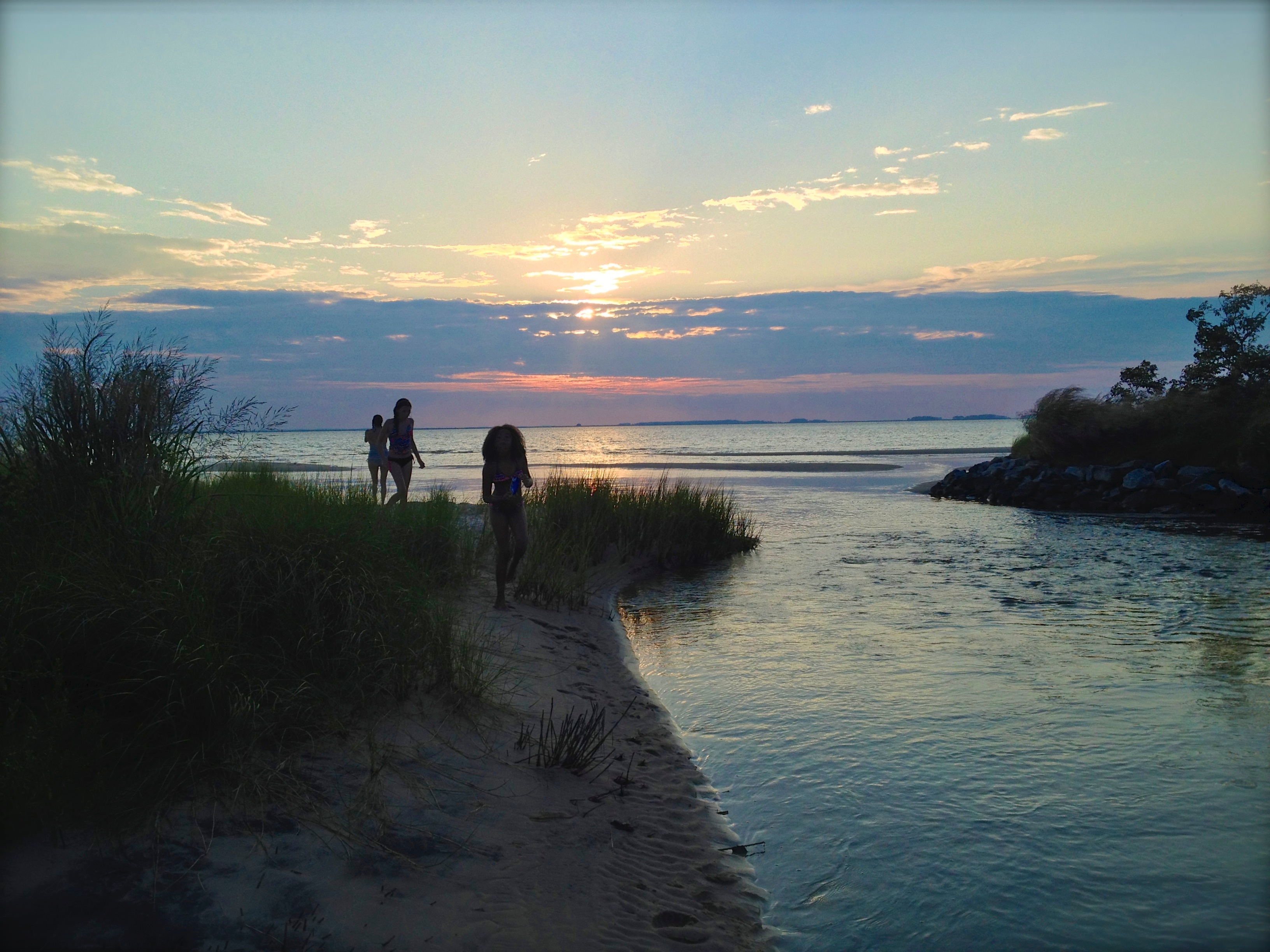
Summer Dayz

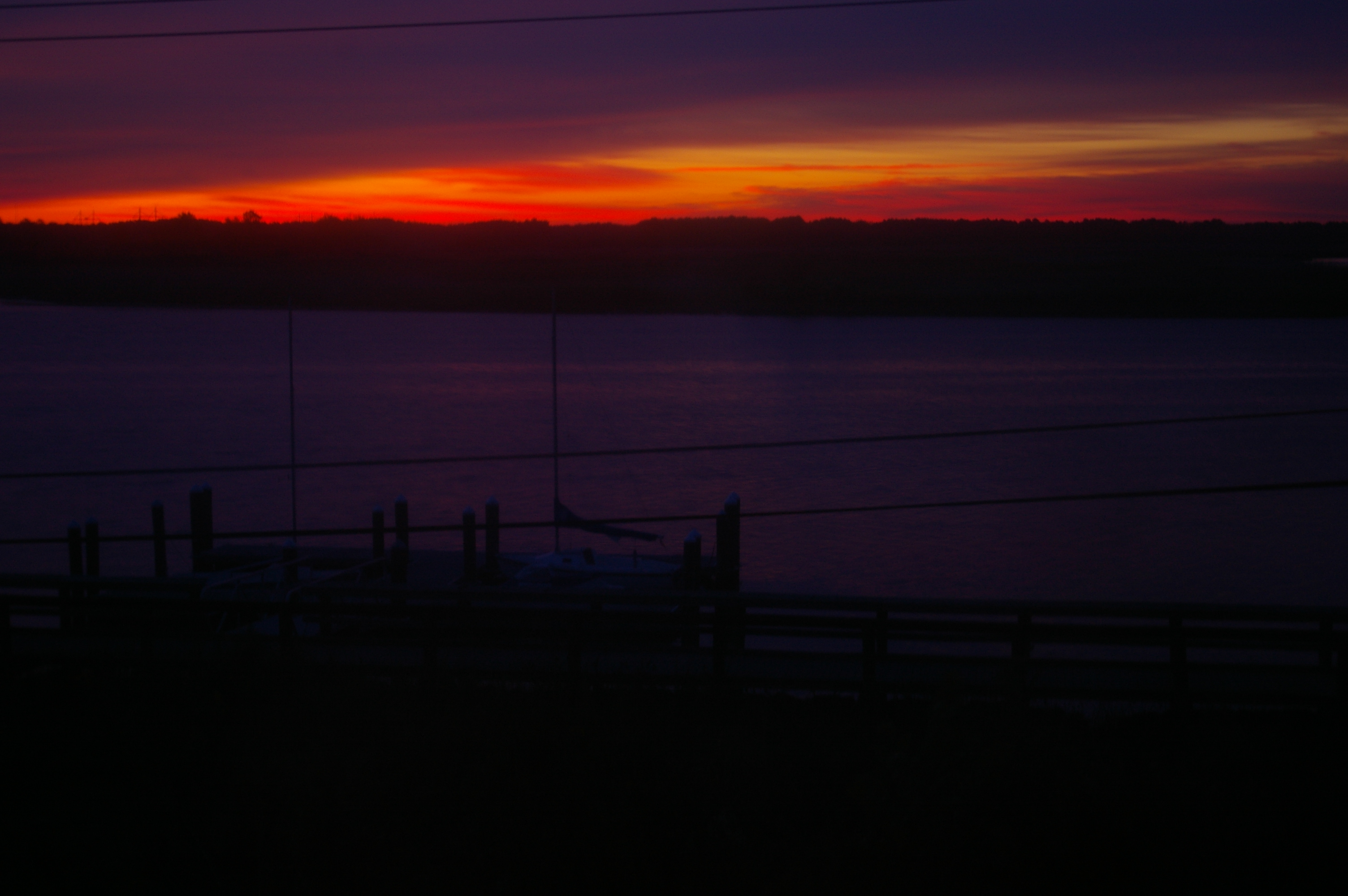
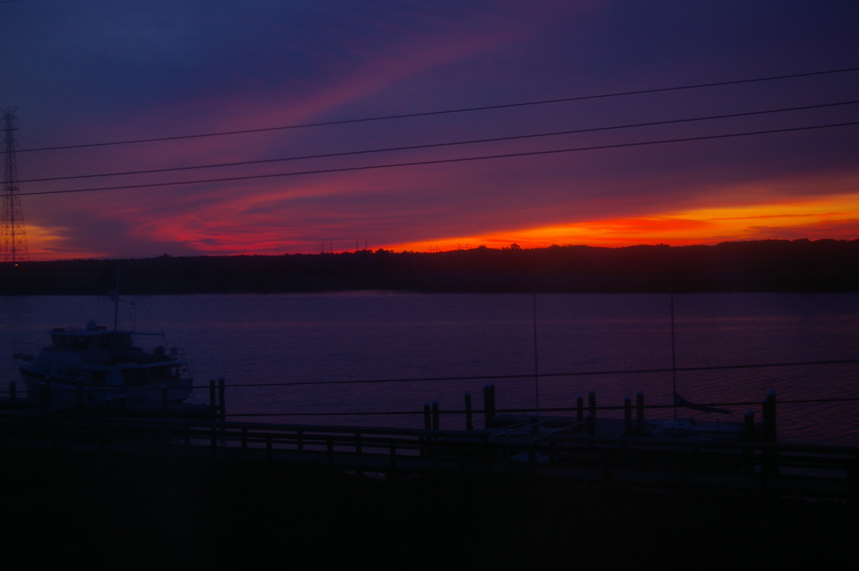
#sunset
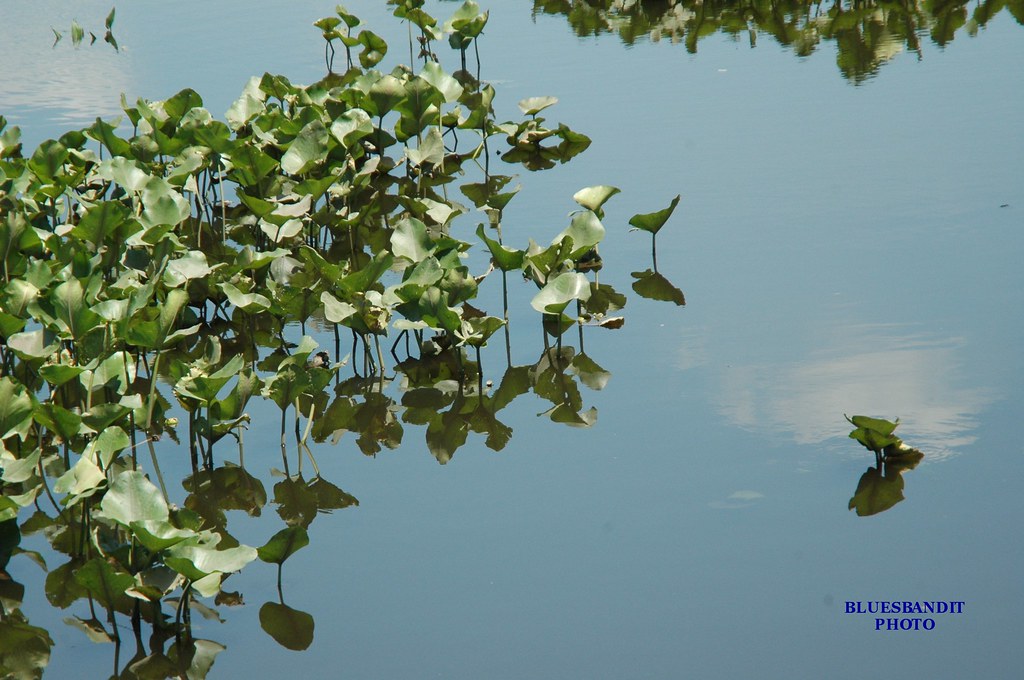
Rewastico Pond
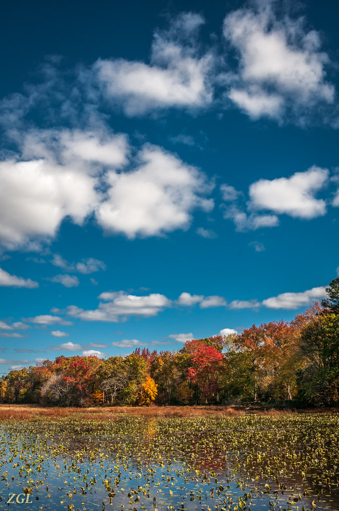
Big Mill Pond, Fall
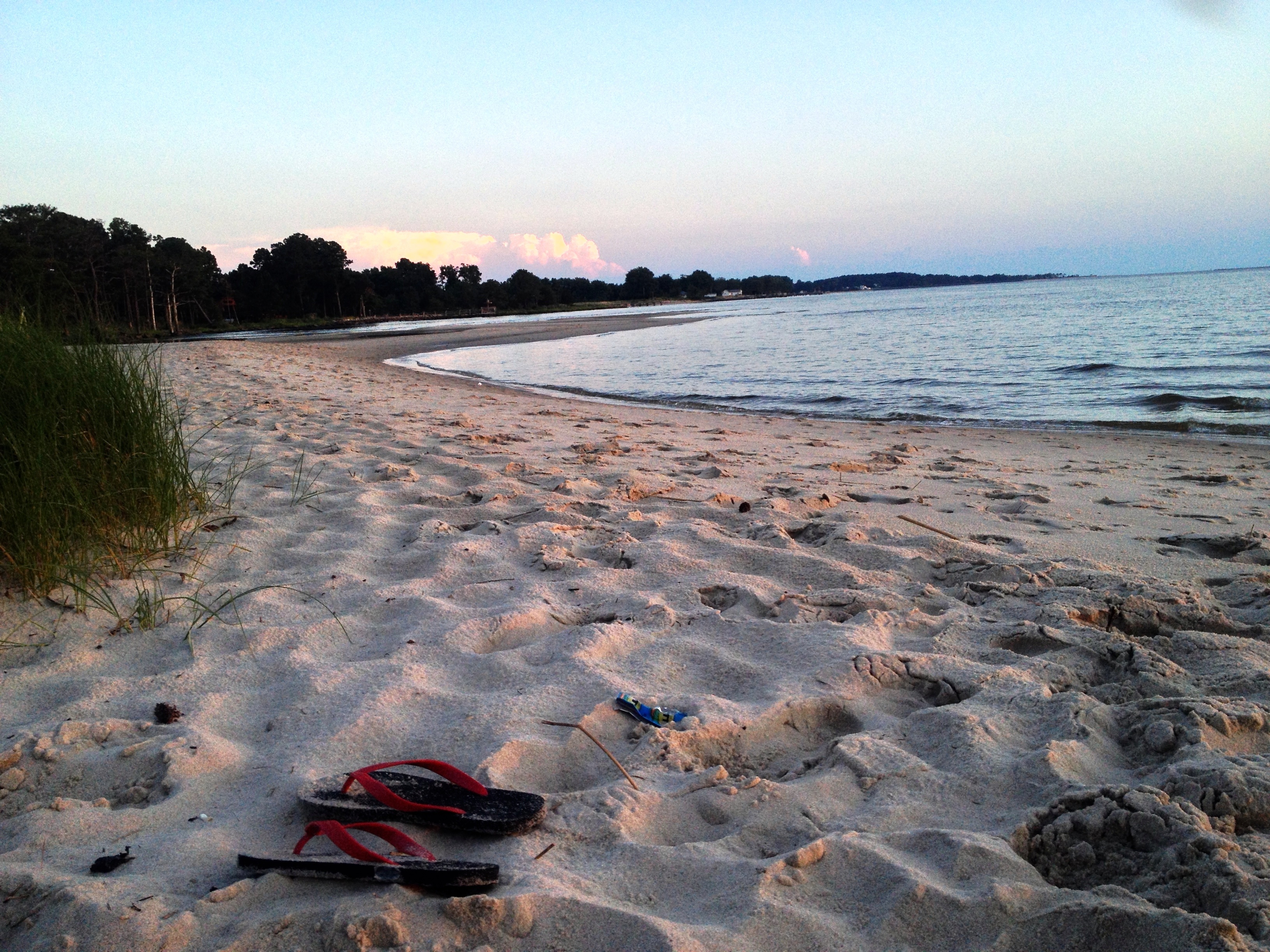
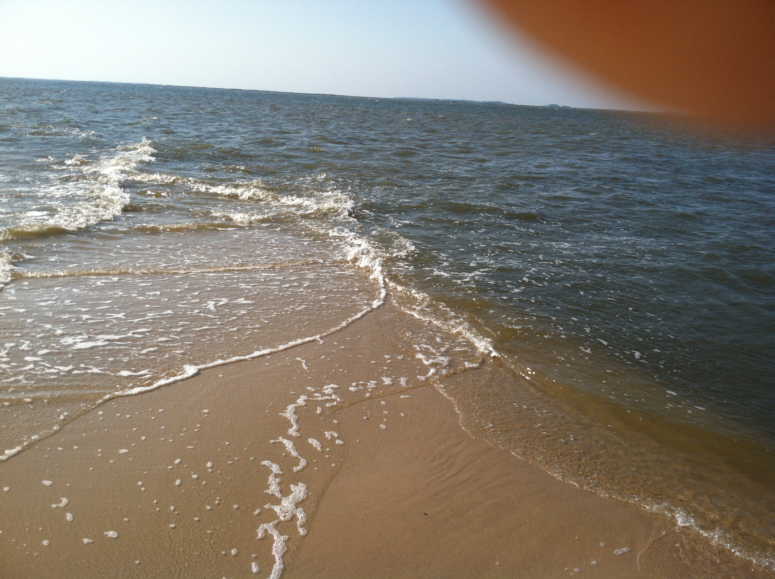
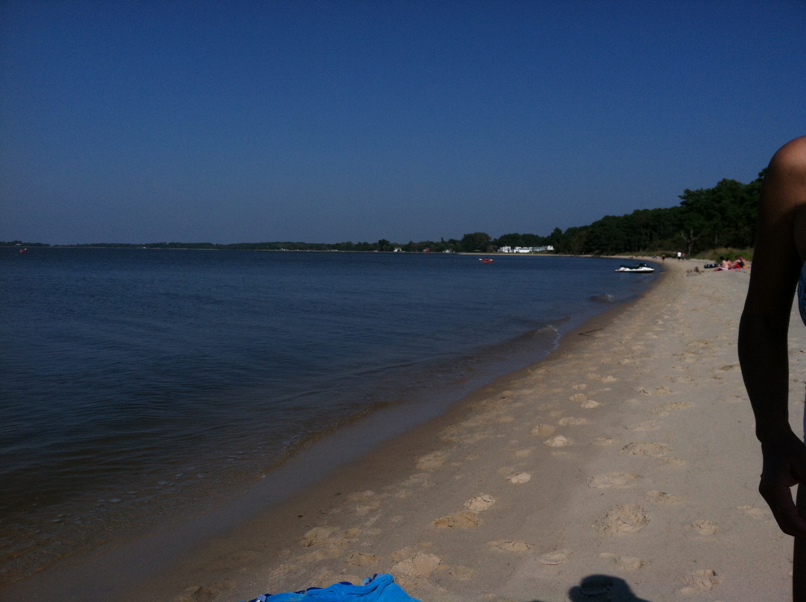
chesapeake bay beach

summer dayz
Transquaking River

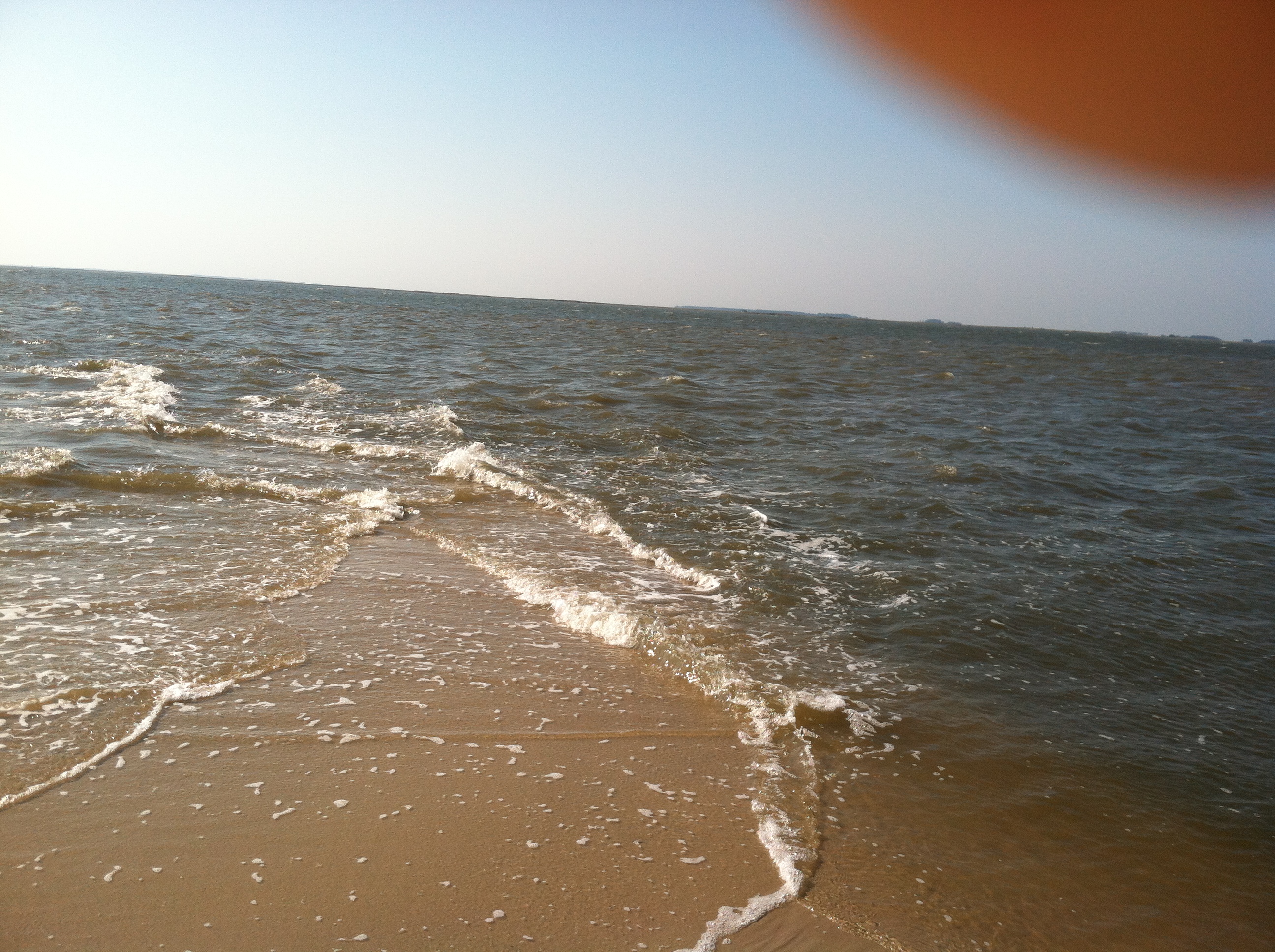
Roaring Point Sept 22 2012 040
Roaring Point Sept 22 2012 037
20111102 Ride from Vienna to Elliot Island
Roaring Point Sept 22 2012 038
6-24-07 059

Farmland in Caroline County, Md.
6-24-07 070
Roaring Point Sept 22 2012 005
Topographic Map of 11, Drawbridge, MD, USA
Find elevation by address:

Places in 11, Drawbridge, MD, USA:
Places near 11, Drawbridge, MD, USA:
Elliott Island Rd, Vienna, MD, USA
Lewis Wharf Rd, Vienna, MD, USA
Tyaskin
Elliott Island Rd, Vienna, MD, USA
7211 Cherry Walk Rd
7413 Cherry Walk Rd
104 Gay St
Vienna
Nanticoke Rd, Quantico, MD, USA
1, Barren Creek
Athol Rd, Hebron, MD, USA
24668 Nanticoke Rd
2, Quantico
Main St, Mardela Springs, MD, USA
Quantico
6508 Quantico Rd
5117 Cooper Landing Dr
Delmar Road
6760 Fire Tower Rd
10350 Norris Twilley Rd
Recent Searches:
- Elevation of W Granada St, Tampa, FL, USA
- Elevation of Pykes Down, Ivybridge PL21 0BY, UK
- Elevation of Jalan Senandin, Lutong, Miri, Sarawak, Malaysia
- Elevation of Bilohirs'k
- Elevation of 30 Oak Lawn Dr, Barkhamsted, CT, USA
- Elevation of Luther Road, Luther Rd, Auburn, CA, USA
- Elevation of Unnamed Road, Respublika Severnaya Osetiya — Alaniya, Russia
- Elevation of Verkhny Fiagdon, North Ossetia–Alania Republic, Russia
- Elevation of F. Viola Hiway, San Rafael, Bulacan, Philippines
- Elevation of Herbage Dr, Gulfport, MS, USA