Elevation of 10th Street, 10th St, Hawaiian Paradise Park, HI, USA
Location: United States > Hawaii > Hawaii County > Keaau >
Longitude: -154.95990
Latitude: 19.5903053
Elevation: 34m / 112feet
Barometric Pressure: 101KPa
Elevation Map:
Satellite Map:
Related Photos:

Palm Frond at dawn, Hawaii

Sunup on a snowy Mauna Kea from Mountain View B&B, Hawaii
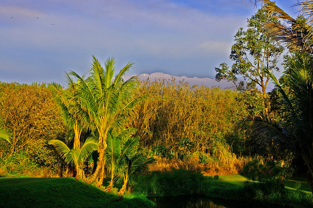
Mauna Kea in early morning light from Mountain View, Hawaii
HW6981VF2_4482.JPG
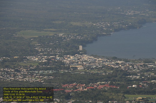
Hawaiian Paradise Park
HW6969VF2_4470.JPG
HW7001VF2_4502.JPG
HW7008VF2_4509.JPG
Cruising along Red Road on #thebigisland of #Hawaii nothing better than a cruise with this view #naturalbeauty
The strip

Oblique view, Kurtistown Jōdo Mission
b46d01-345_hhp.tif

We can pickle that
HW7481VF2_4982.JPG
HW7490VF2_4991.JPG
b46d01-340_hhp.tif
HW7479VF2_4980.JPG
HW7464VF2_4965.JPG
HW6983VF2_4484.JPG

Hale Moana Hawaii Bed & Breakfast - Lava Viewing (10 minutes)
HW6973VF2_4474.JPG
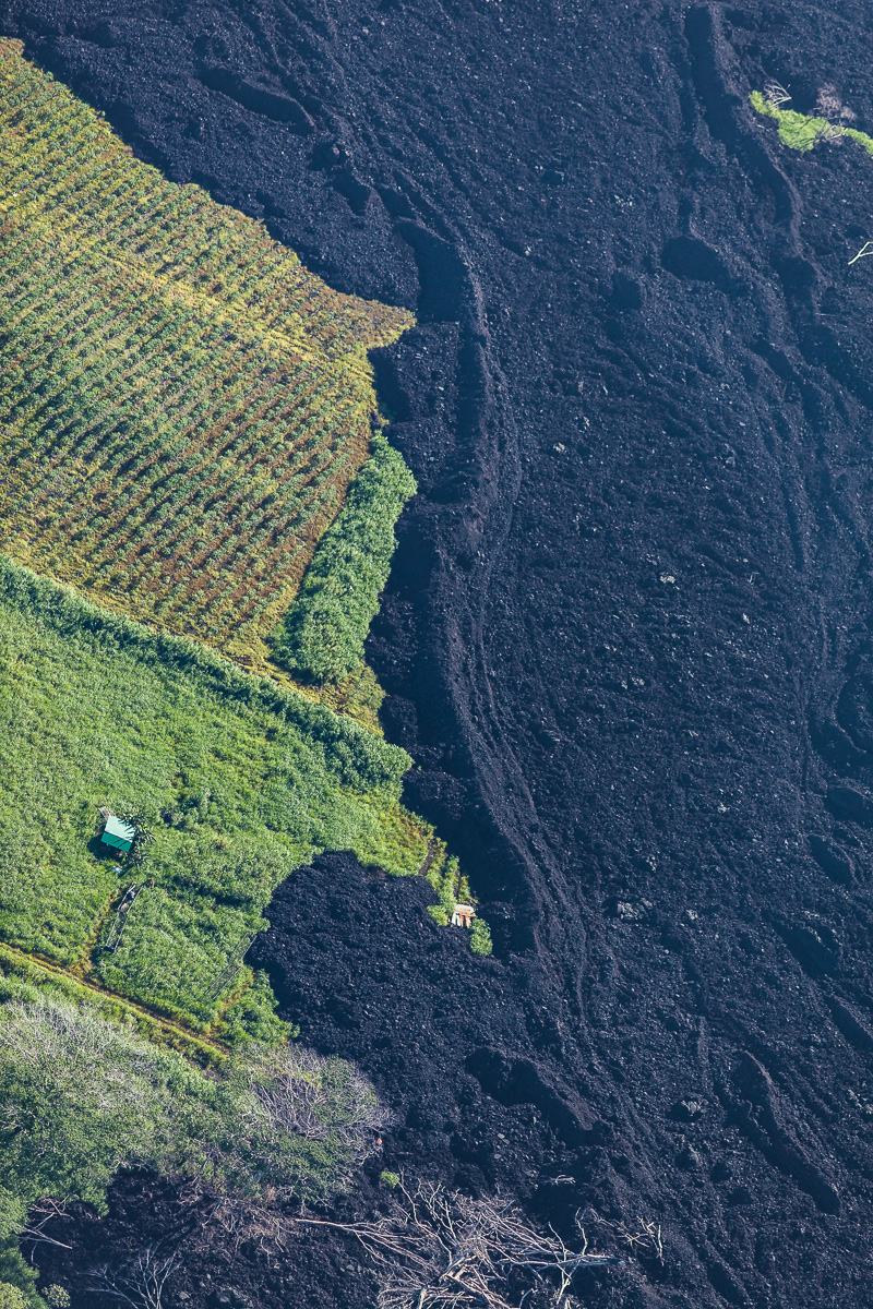
Green & Black

lost in the forest
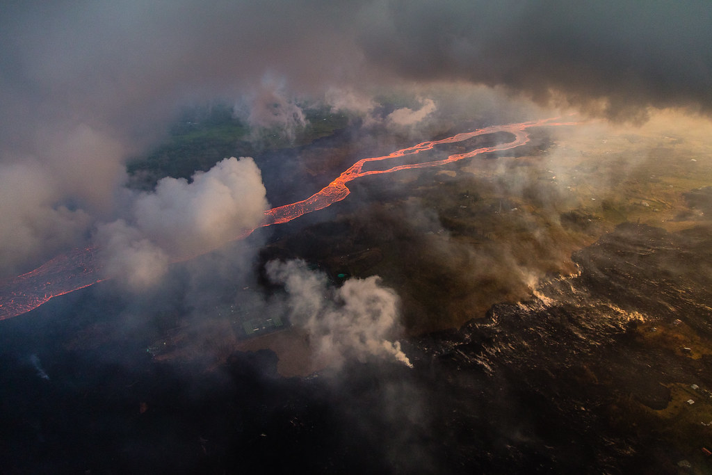
Hawaii Kilauea Volcano Fissure 8 Lava River

Leilani Eruption
Topographic Map of 10th Street, 10th St, Hawaiian Paradise Park, HI, USA
Find elevation by address:

Places near 10th Street, 10th St, Hawaiian Paradise Park, HI, USA:
11th Avenue
15-1817 11th Ave
15-1779 13th Ave
15-1669 11th Ave
15-1702 13th Ave
15-1702 13th Ave
15-1702 13th Ave
15-1659 12th Ave
15th Avenue
15-1659 14th Ave
Hawaiian Paradise Park
4th Street
15-1664
13th Avenue
15-1720 Maia Ave
15-1515 14th Ave
20th Avenue
15-1987 Lokelani Ave
15-1867 22nd Ave
15-1736 22nd Ave
Recent Searches:
- Elevation of Luther Road, Luther Rd, Auburn, CA, USA
- Elevation of Unnamed Road, Respublika Severnaya Osetiya — Alaniya, Russia
- Elevation of Verkhny Fiagdon, North Ossetia–Alania Republic, Russia
- Elevation of F. Viola Hiway, San Rafael, Bulacan, Philippines
- Elevation of Herbage Dr, Gulfport, MS, USA
- Elevation of Lilac Cir, Haldimand, ON N3W 2G9, Canada
- Elevation of Harrod Branch Road, Harrod Branch Rd, Kentucky, USA
- Elevation of Wyndham Grand Barbados Sam Lords Castle All Inclusive Resort, End of Belair Road, Long Bay, Bridgetown Barbados
- Elevation of Iga Trl, Maggie Valley, NC, USA
- Elevation of N Co Rd 31D, Loveland, CO, USA