Elevation of 10th Ave, Los Angeles, CA, USA
Location: United States > California > Los Angeles County > Los Angeles > South Los Angeles >
Longitude: -118.32833
Latitude: 33.982035
Elevation: 48m / 157feet
Barometric Pressure: 101KPa
Elevation Map:
Satellite Map:
Related Photos:
Assembled in the light
No Sleep

Sunday Morning
end of the day
After the rain
View From My Perch

Starry Eyed Surprise
for isabelle ann
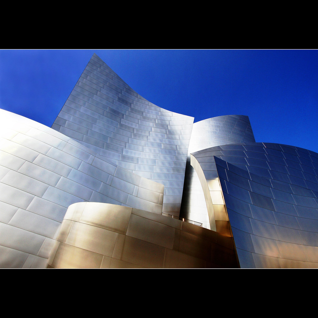
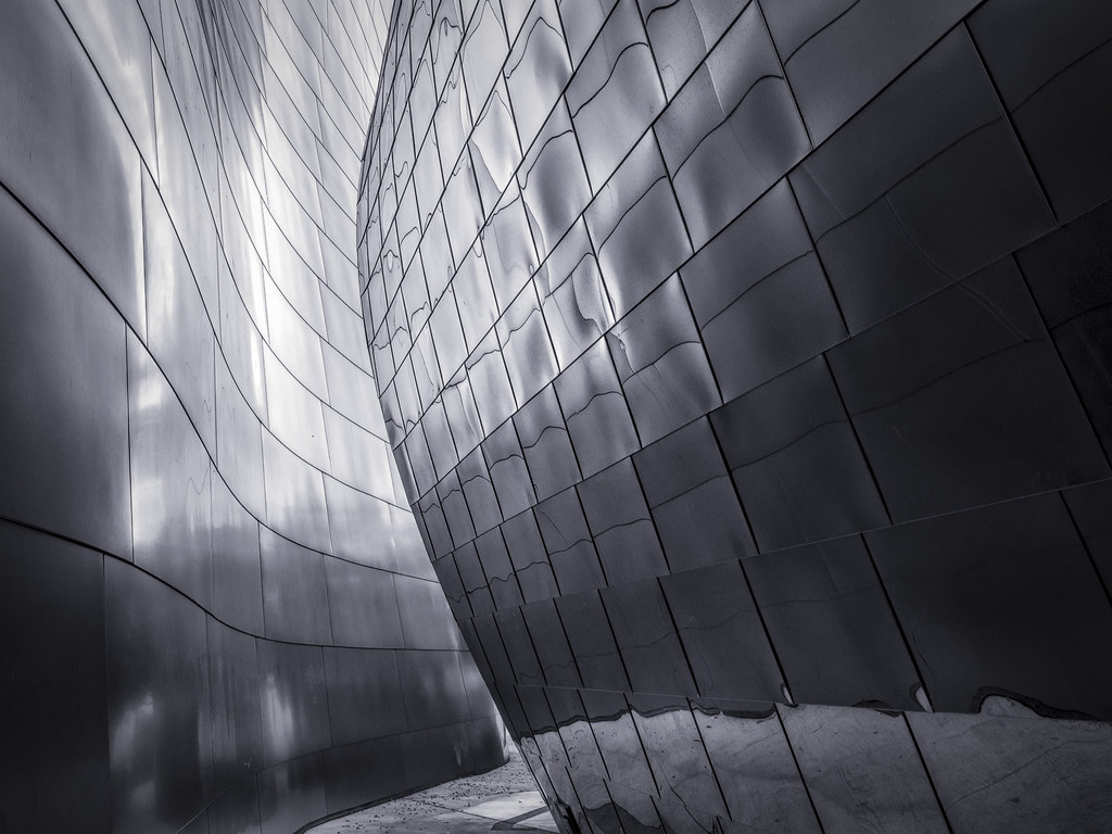
mountain of steel
the shining

ocean view window
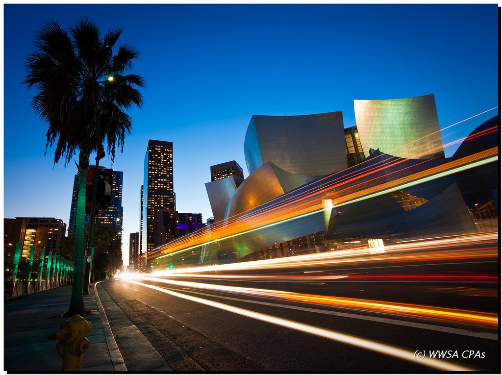
Downtown Speedway
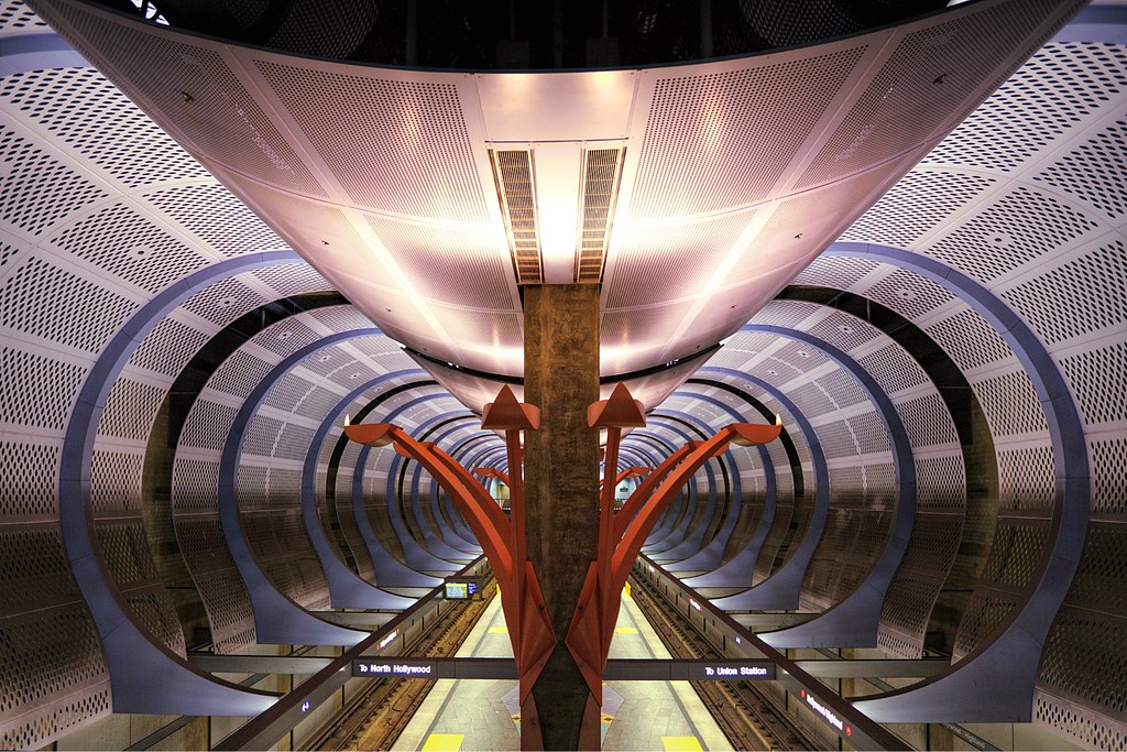
Transit Cathedral
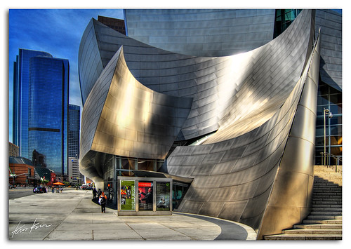
made of steel

Gentle Walk

Under the Radar
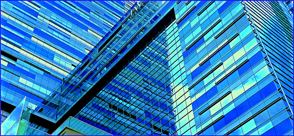
Geometric Reflections in Blue
Just Around the Bend
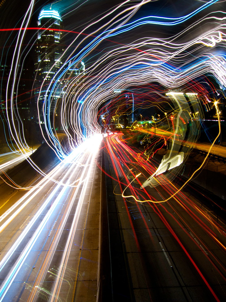
Tripping On The 110
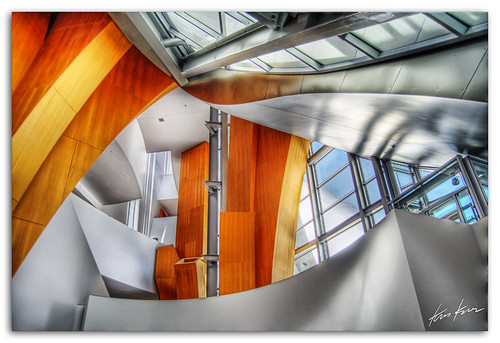
inside look

Crimson Sky #3
Topographic Map of 10th Ave, Los Angeles, CA, USA
Find elevation by address:

Places near 10th Ave, Los Angeles, CA, USA:
6329 10th Ave
8th Ave & Hyde Park Blvd
Crenshaw Blvd, Los Angeles, CA, USA
3138 W 59th St
8th Ave & W 68th St
Park Mesa Heights
5838 4th Ave
S Van Ness Ave & W 65th Pl
Crenshaw Blvd & W 79th St
W 79th St & S Victoria Ave
3535 Olympiad Dr
570 E 67th St
4508 4th Ave
Presidio Dr, View Park, CA, USA
5511 S Verdun Ave
Inglewood, CA, USA
Morningside Park
W Manchester Blvd, Inglewood, CA, USA
View Park
View Park-windsor Hills
Recent Searches:
- Elevation of East W.T. Harris Boulevard, E W.T. Harris Blvd, Charlotte, NC, USA
- Elevation of West Sugar Creek, Charlotte, NC, USA
- Elevation of Wayland, NY, USA
- Elevation of Steadfast Ct, Daphne, AL, USA
- Elevation of Lagasgasan, X+CQH, Tiaong, Quezon, Philippines
- Elevation of Rojo Ct, Atascadero, CA, USA
- Elevation of Flagstaff Drive, Flagstaff Dr, North Carolina, USA
- Elevation of Avery Ln, Lakeland, FL, USA
- Elevation of Woolwine, VA, USA
- Elevation of Lumagwas Diversified Farmers Multi-Purpose Cooperative, Lumagwas, Adtuyon, RV32+MH7, Pangantucan, Bukidnon, Philippines