Elevation of 10 W Trimble Rd, San Jose, CA, USA
Location: United States > California > Santa Clara County > San Jose > North San Jose >
Longitude: -121.92882
Latitude: 37.3851101
Elevation: 9m / 30feet
Barometric Pressure: 101KPa
Elevation Map:
Satellite Map:
Related Photos:

IMG_8090 Snowy Egret, Mountain View Shoreline Park, CA
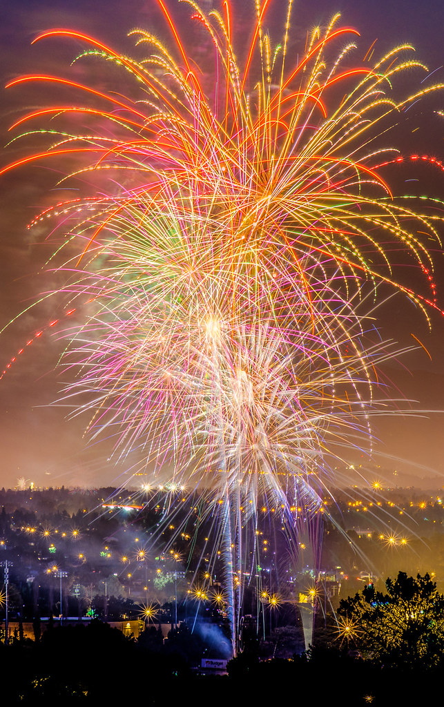
Explosions of Light

Stop. Look. Enjoy.
Is this the world we created...?
The great gig in the sky
Lucy In The Sky With Diamonds!
An expresso and a cognac please!
He-Who-Must-Not-Be-Named lives in a mansion high above a sea of lava
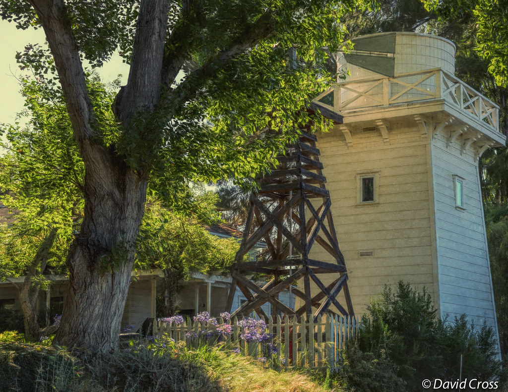
A Walk to Rengstorff House (circa 1867) (HFF)

Bridging the gap

Canada Goose honking

Air Force One above downtown Sunnyvale, California

Geese (HSS)
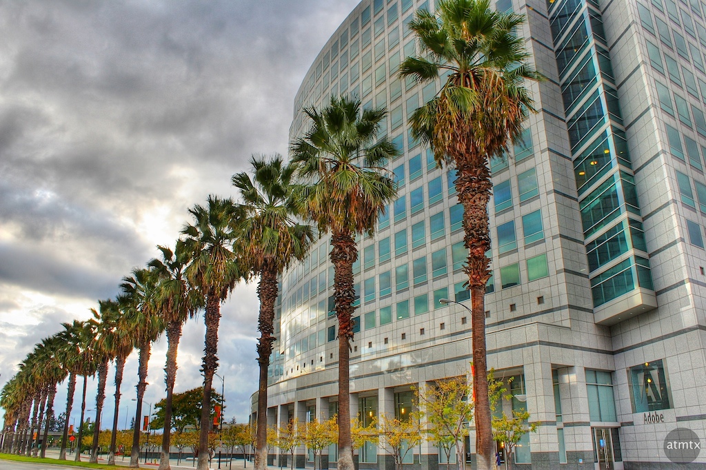
Adobe HQ
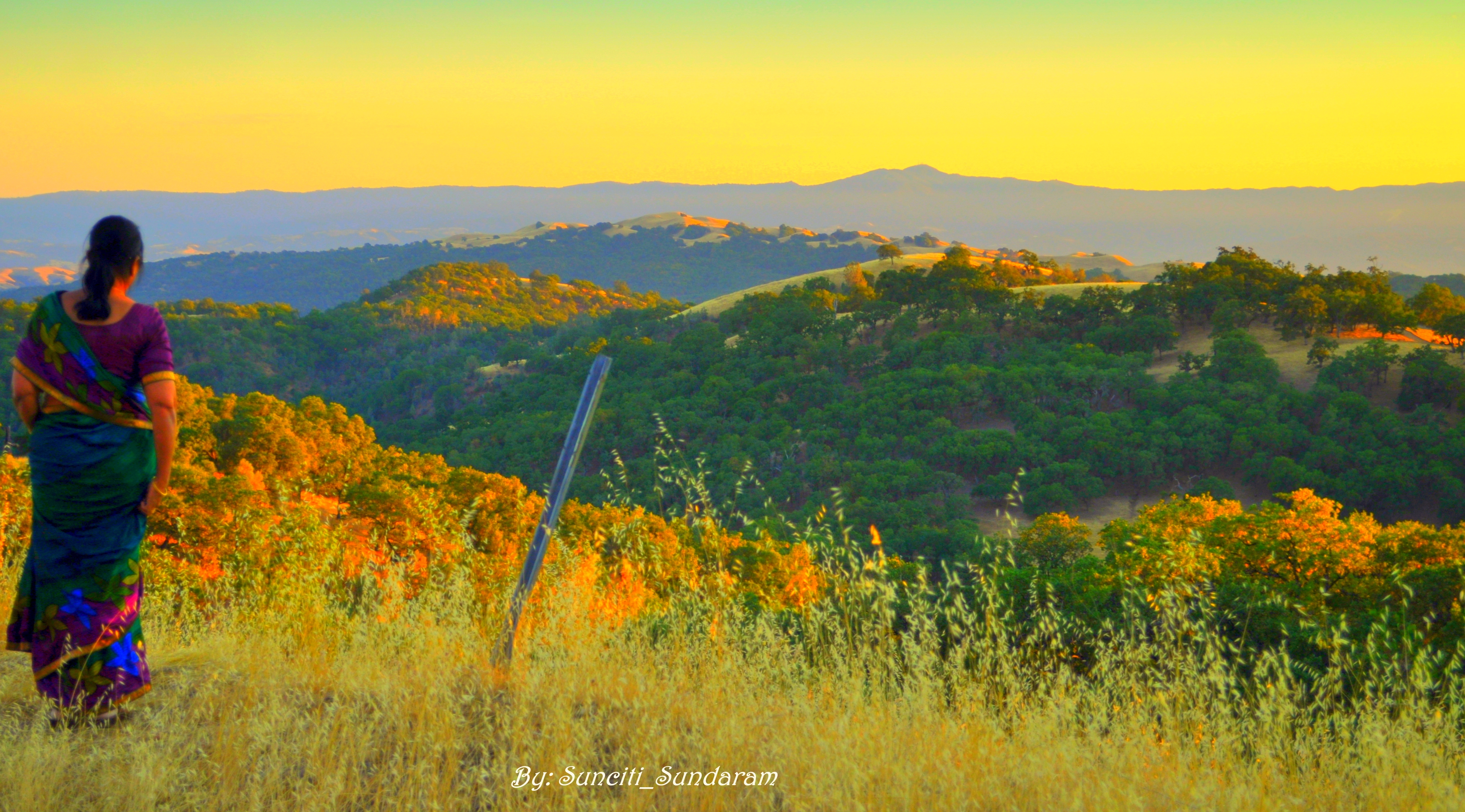
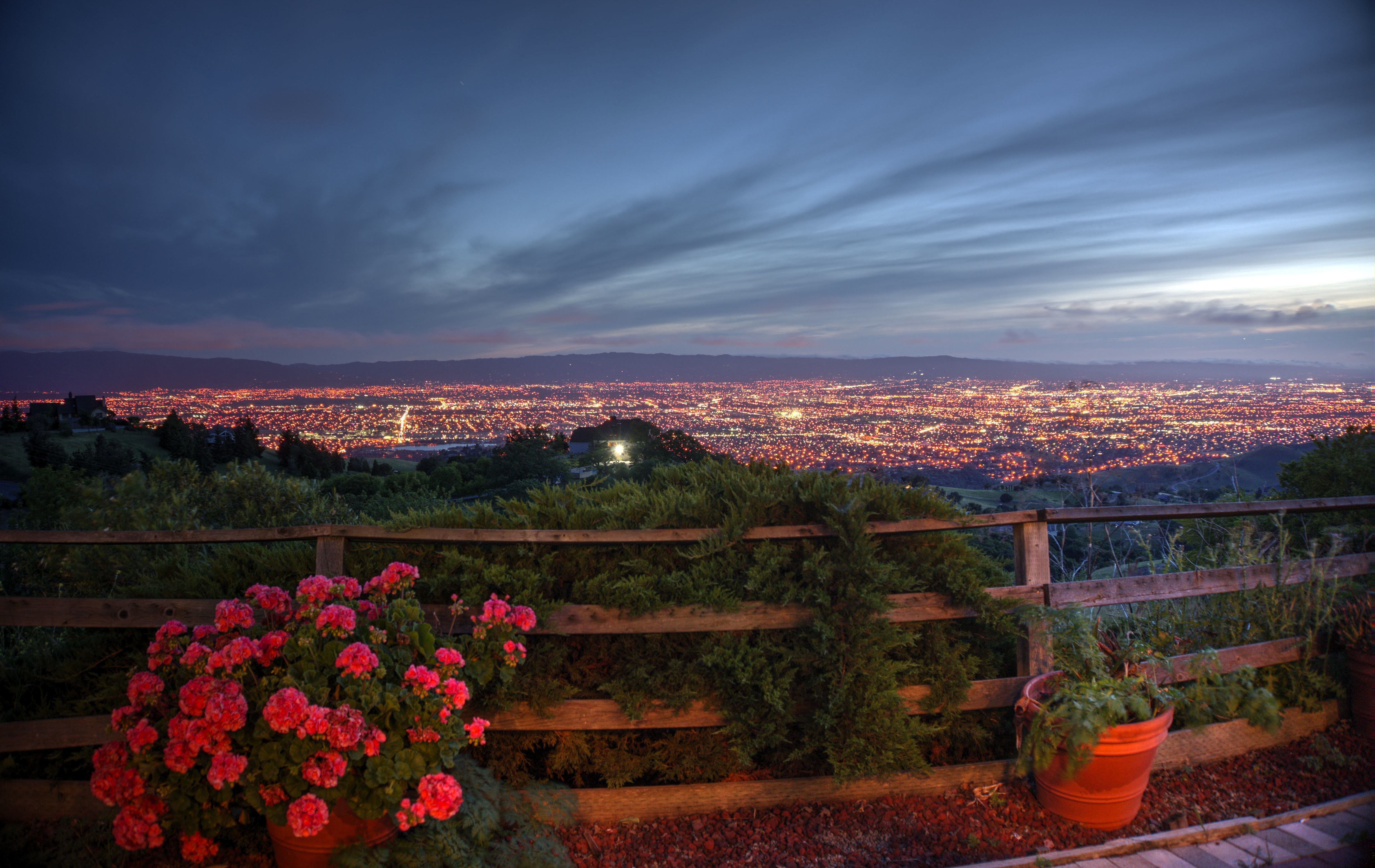
Panoramic View From A Perfect View Point...

IMG_1380 Let Me Feed You, Honey.
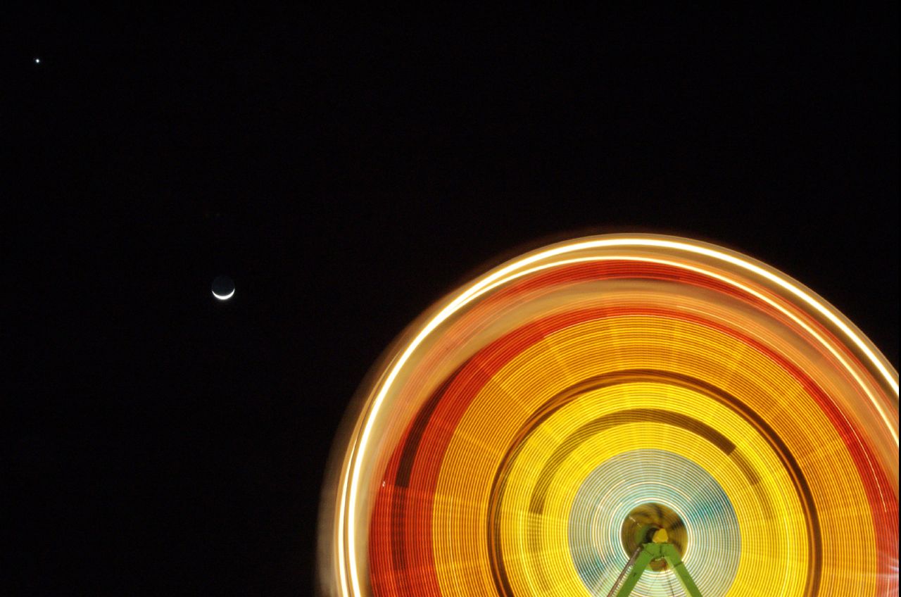
Revolution x3

IMG_5922 Forster's Tern Hovering, Mountain View Shoreline Park, California

Into the Sunset (Highway 101)
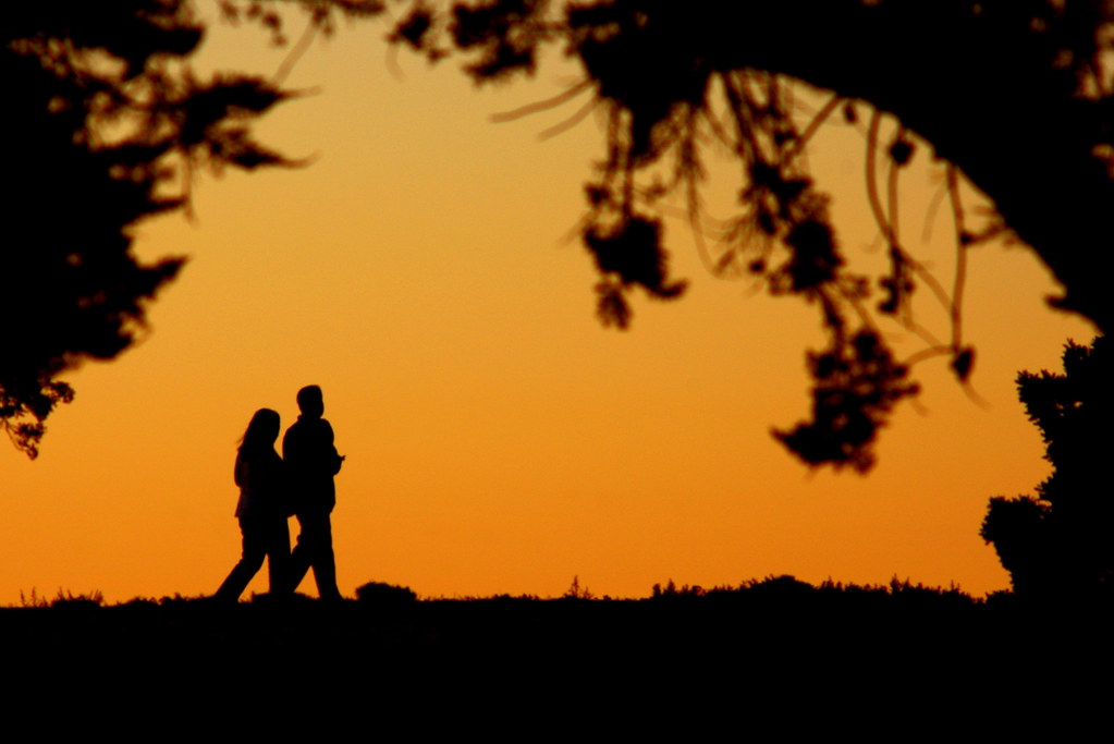
Evening Stroll

Mary Avenue Bridge
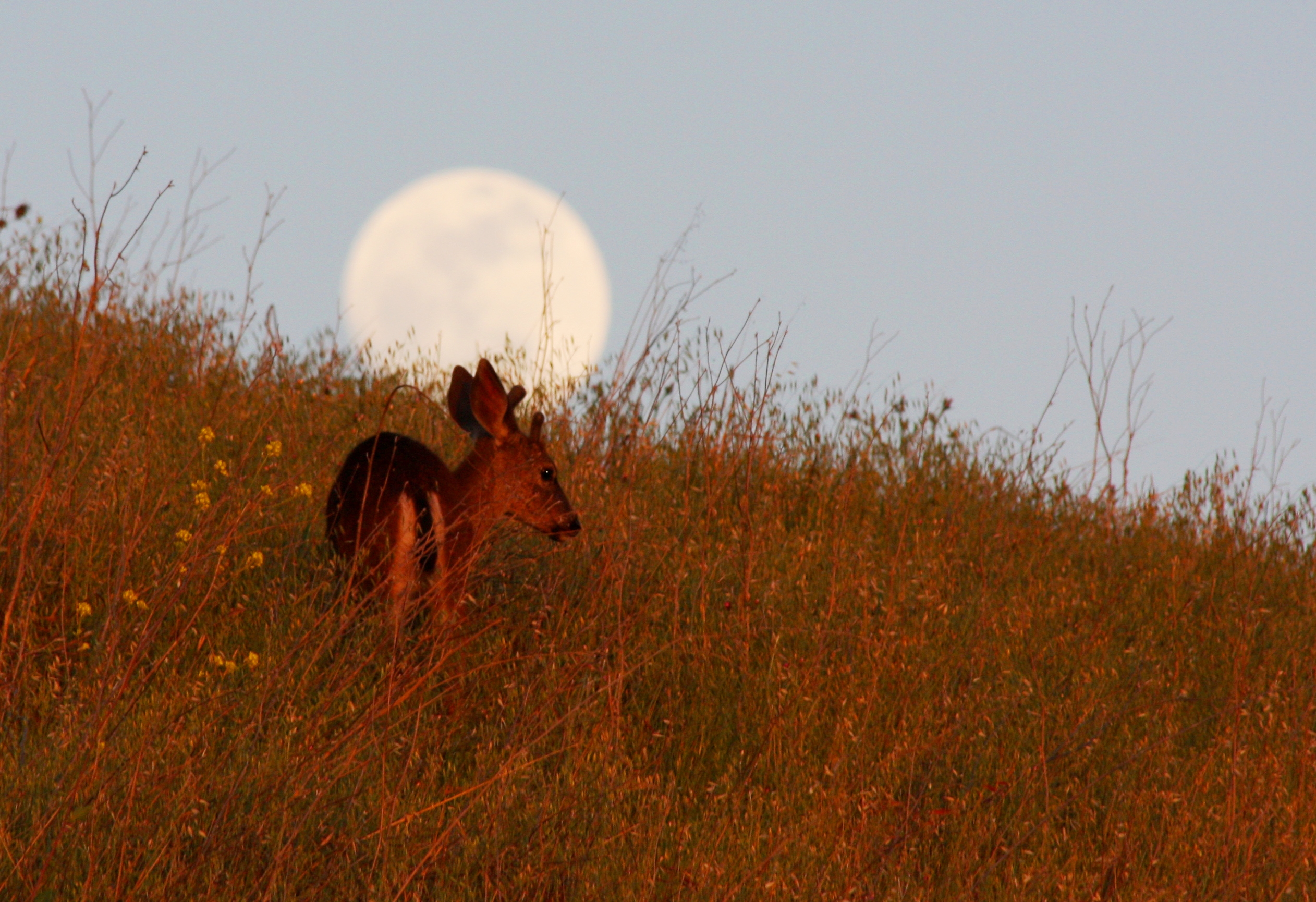
Searching Under Moon

Calaveras Road

My Favorite Tree

Door of opportunities :)
Calaveras Hills

Easy way down

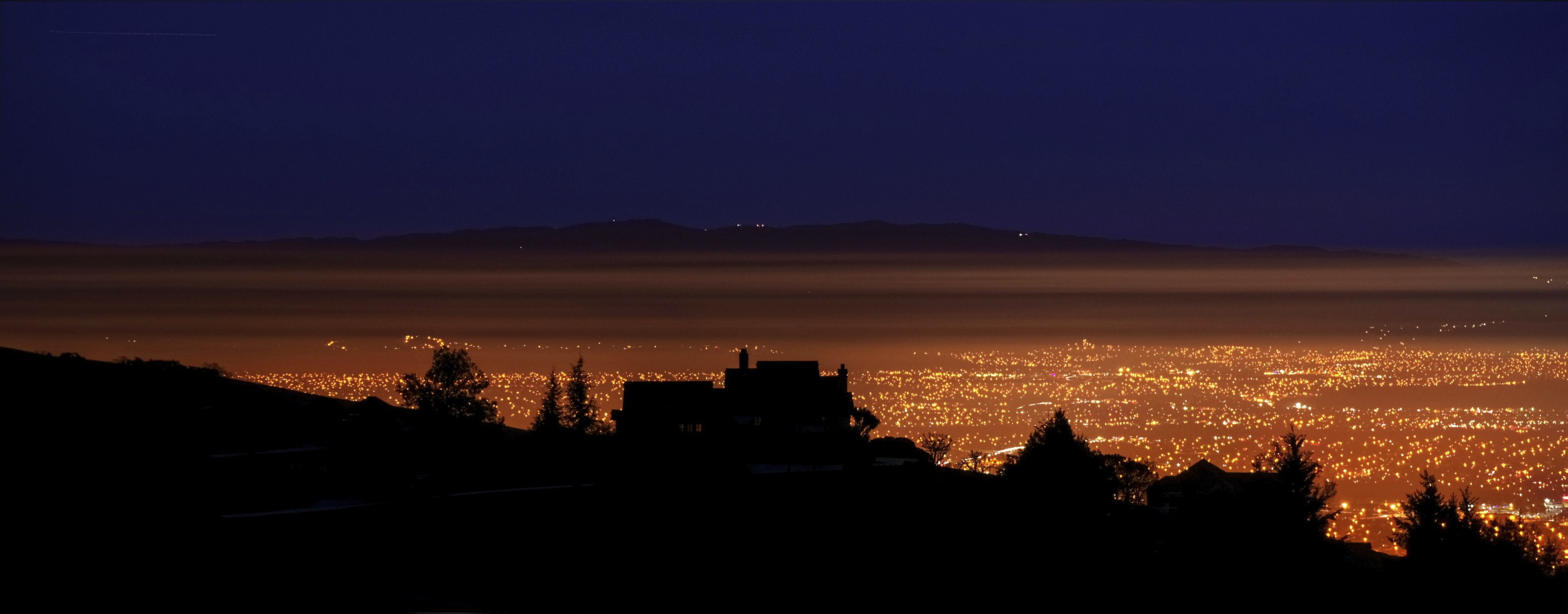
Alviso Blue Hour

Vasona Lake HDR - Happy Sliders Sunday
~~Alviso Twilight #2~~
The Beamer
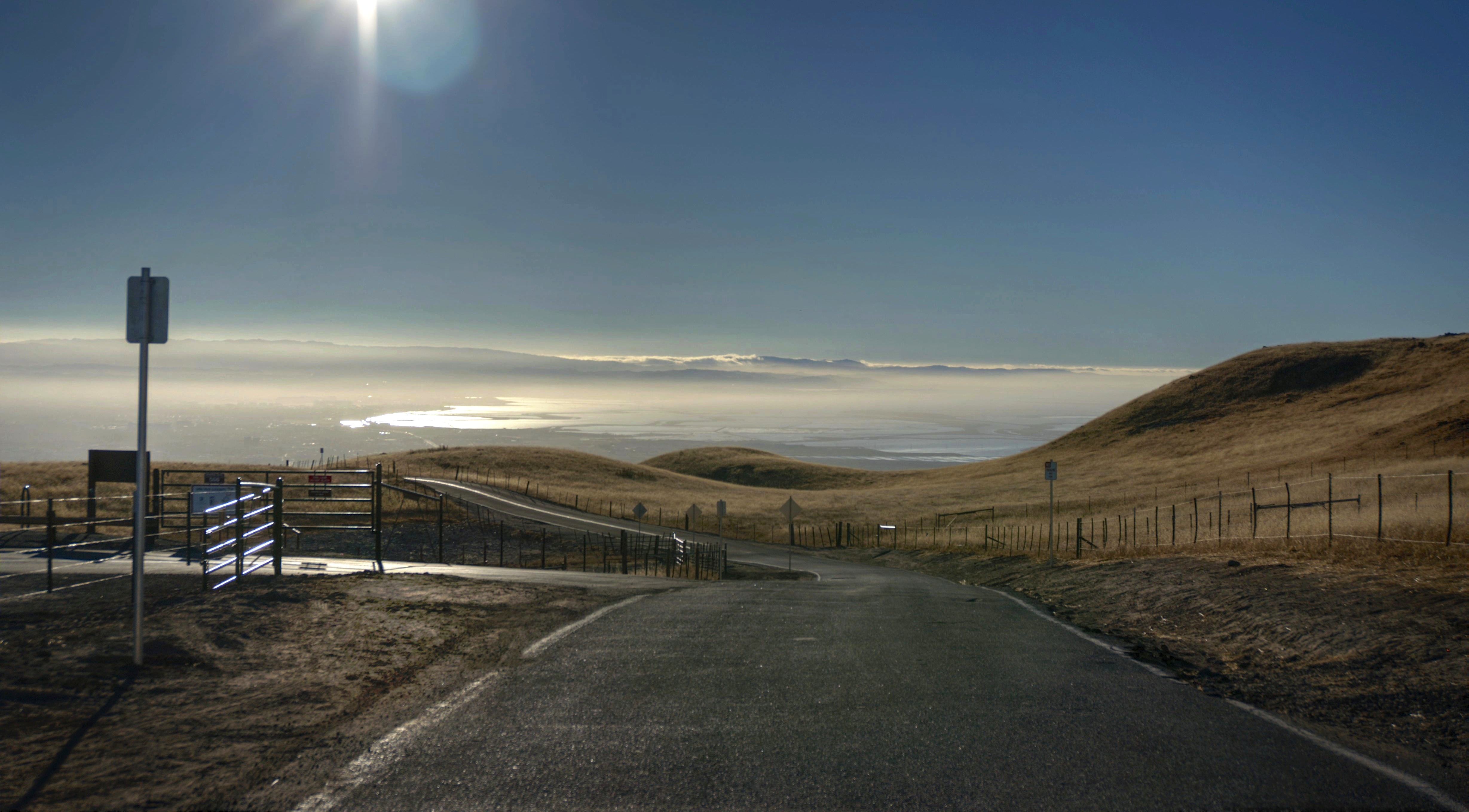
The Road
windy Grass
Back to the future

Green Pastors
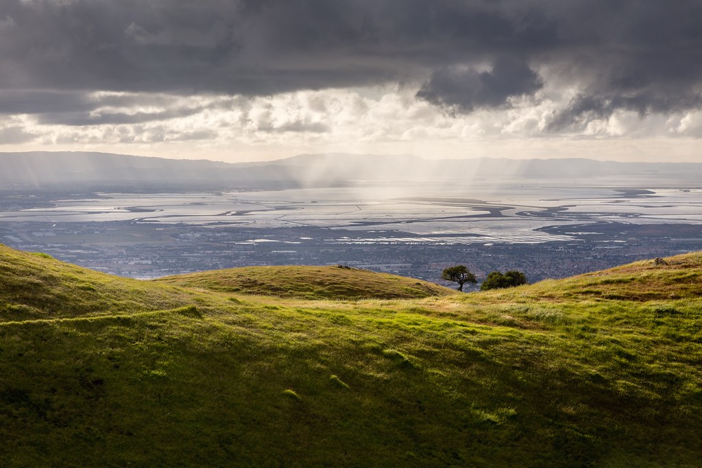
Scattered Showers
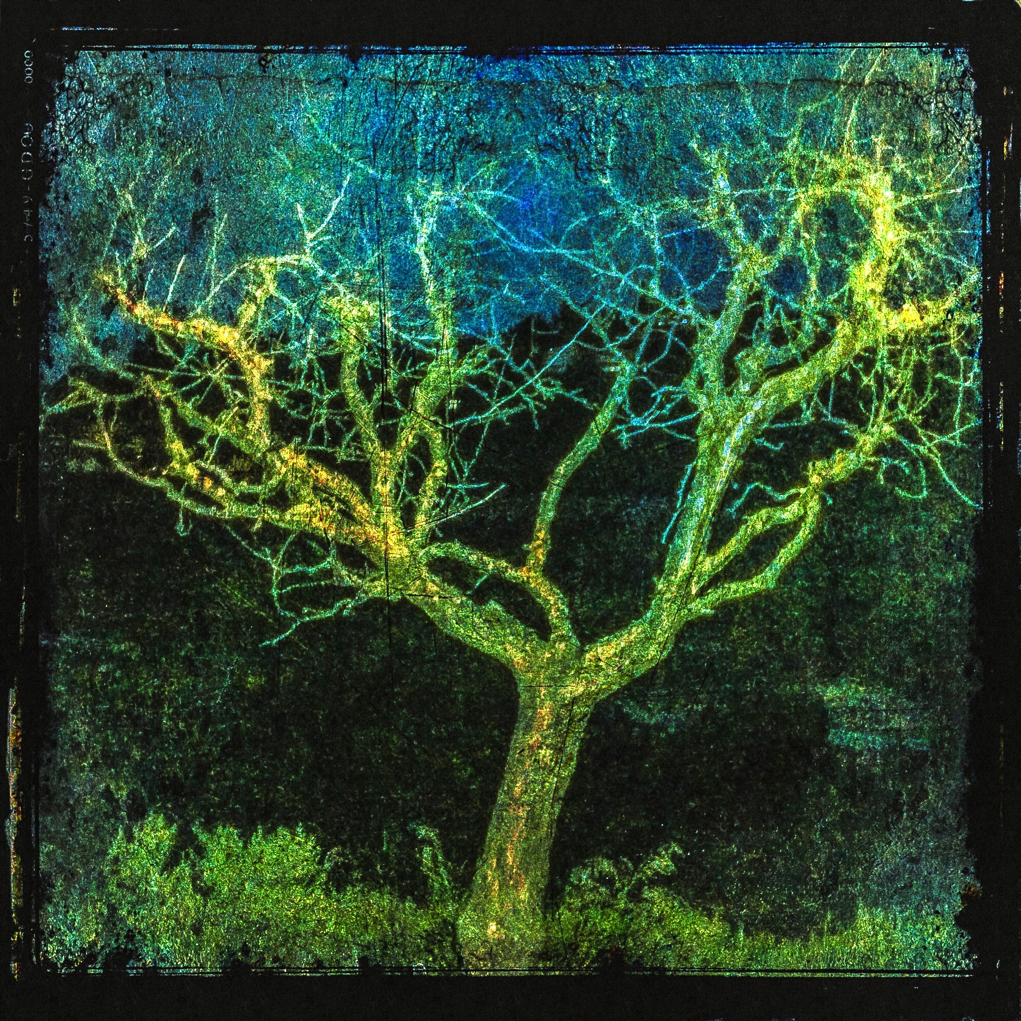
Tree 2
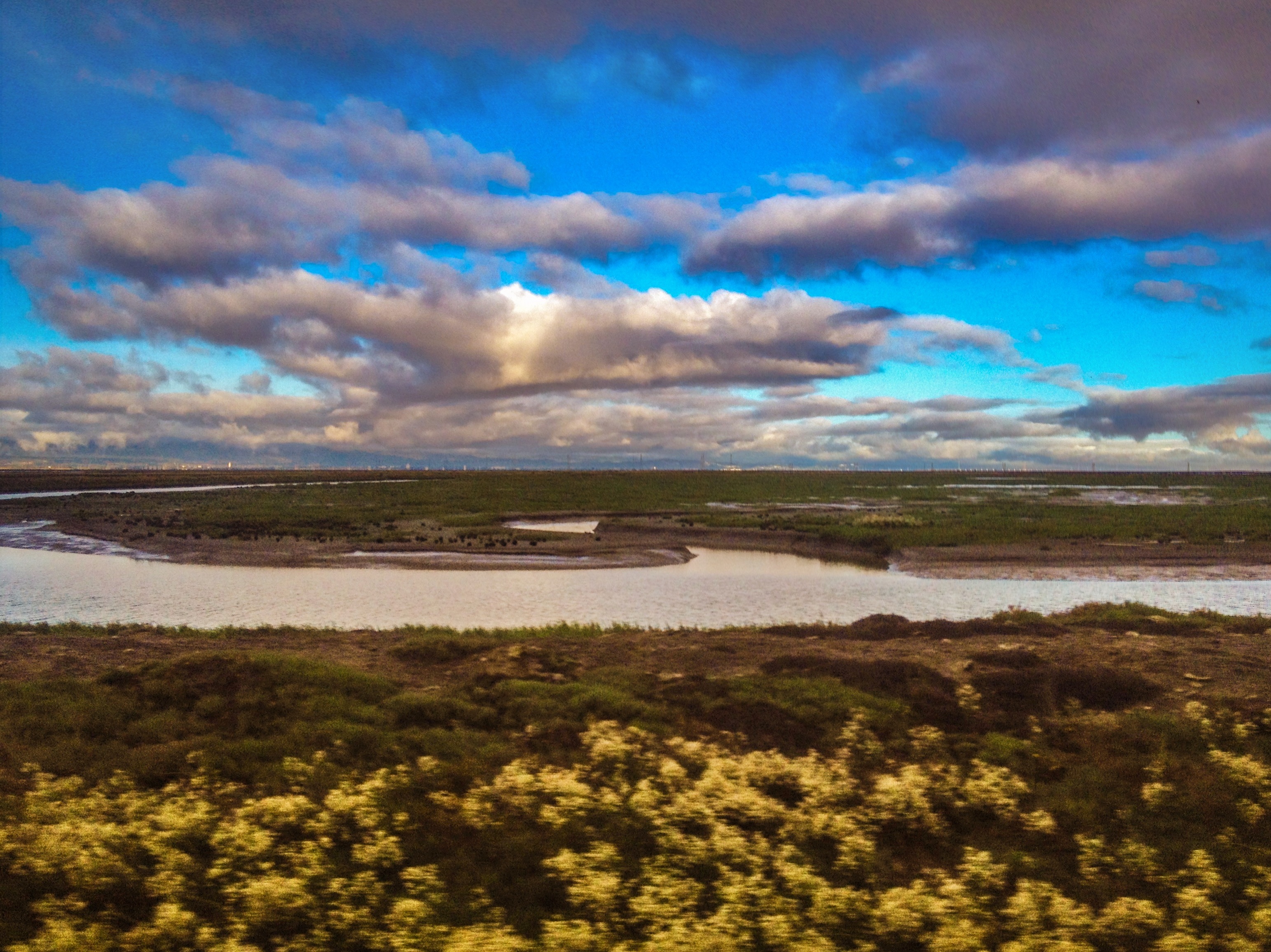
SF Bay
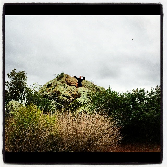
Spotted Hercules on my mud run at Alum Rock. #ToTheTop
Topographic Map of 10 W Trimble Rd, San Jose, CA, USA
Find elevation by address:

Places near 10 W Trimble Rd, San Jose, CA, USA:
North San Jose
421 Brasswood Ct
3691 Eastwood Cir
432 Greenwood Dr
436 Greenwood Dr
440 Greenwood Dr
420 Greenwood Dr
444 Greenwood Dr
3724 Edgefield Dr
San Jose Airport - Terminal A
521 Bellwood Dr
4048 Lick Mill Blvd
Bay 101
Mineta San José International Airport
1729 N 1st St
1700 N 1st St
1600 N 4th St
Berkeley Square Apartments
Giver Of Life Global Ministries
San Jose, CA, USA
Recent Searches:
- Elevation of Woodland Oak Pl, Thousand Oaks, CA, USA
- Elevation of Brownsdale Rd, Renfrew, PA, USA
- Elevation of Corcoran Ln, Suffolk, VA, USA
- Elevation of Mamala II, Sariaya, Quezon, Philippines
- Elevation of Sarangdanda, Nepal
- Elevation of 7 Waterfall Way, Tomball, TX, USA
- Elevation of SW 57th Ave, Portland, OR, USA
- Elevation of Crocker Dr, Vacaville, CA, USA
- Elevation of Pu Ngaol Community Meeting Hall, HWHM+3X7, Krong Saen Monourom, Cambodia
- Elevation of Royal Ontario Museum, Queens Park, Toronto, ON M5S 2C6, Canada