Elevation of 05 Järpen, Sweden
Location: Sweden > Jamtland County >
Longitude: 13.4529077
Latitude: 63.3496305
Elevation: 326m / 1070feet
Barometric Pressure: 97KPa
Elevation Map:
Satellite Map:
Related Photos:
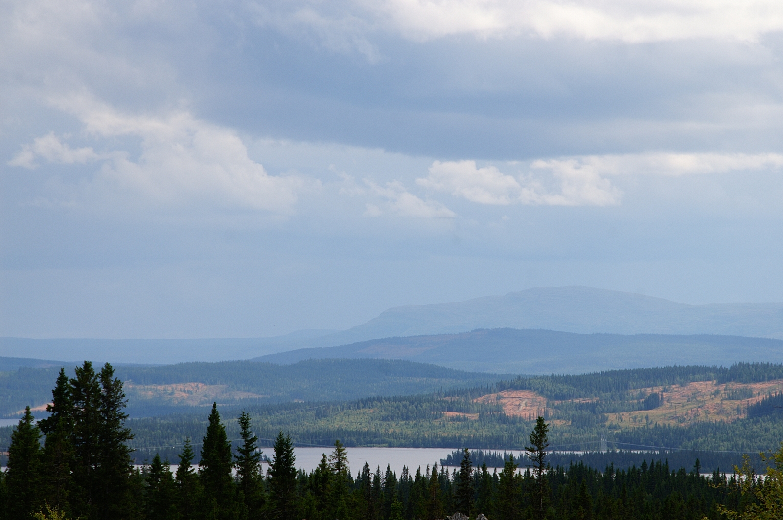
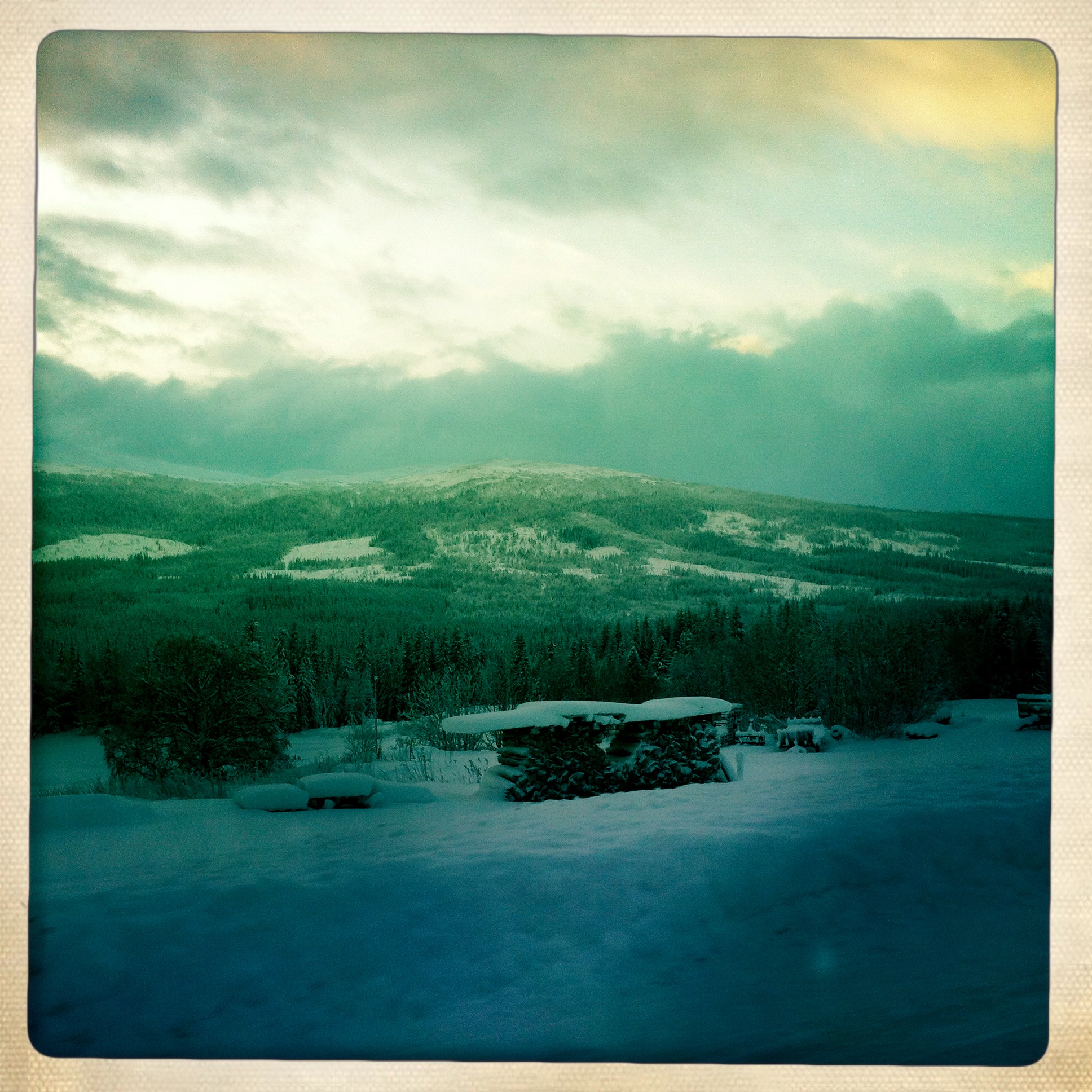
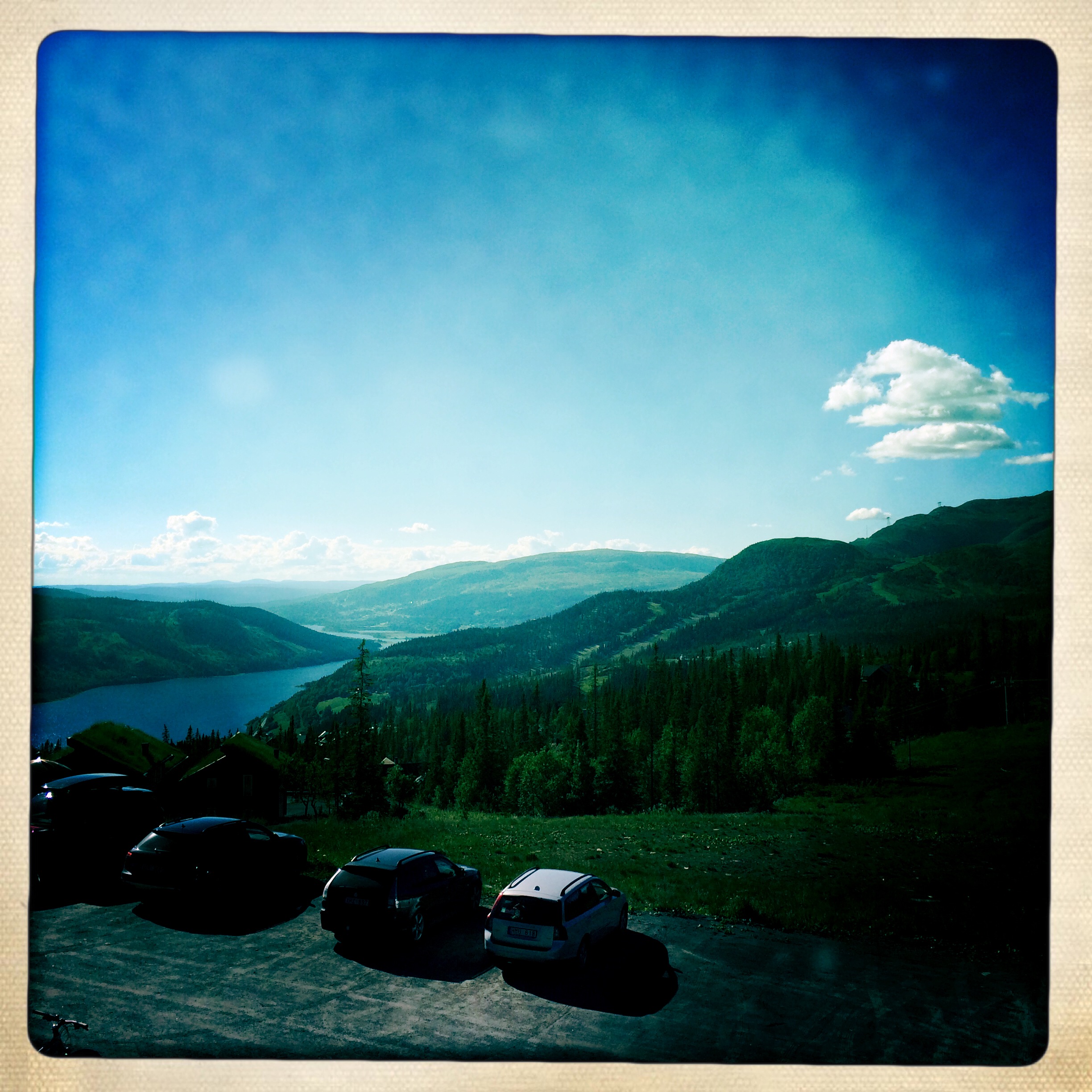
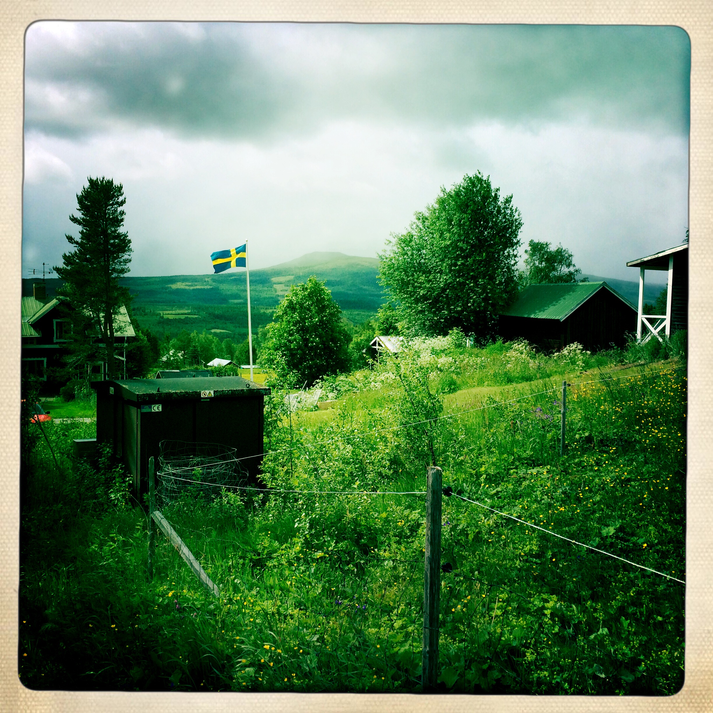
Bjömänge - View from the Koppermine

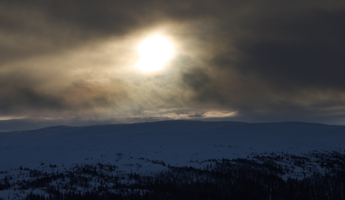
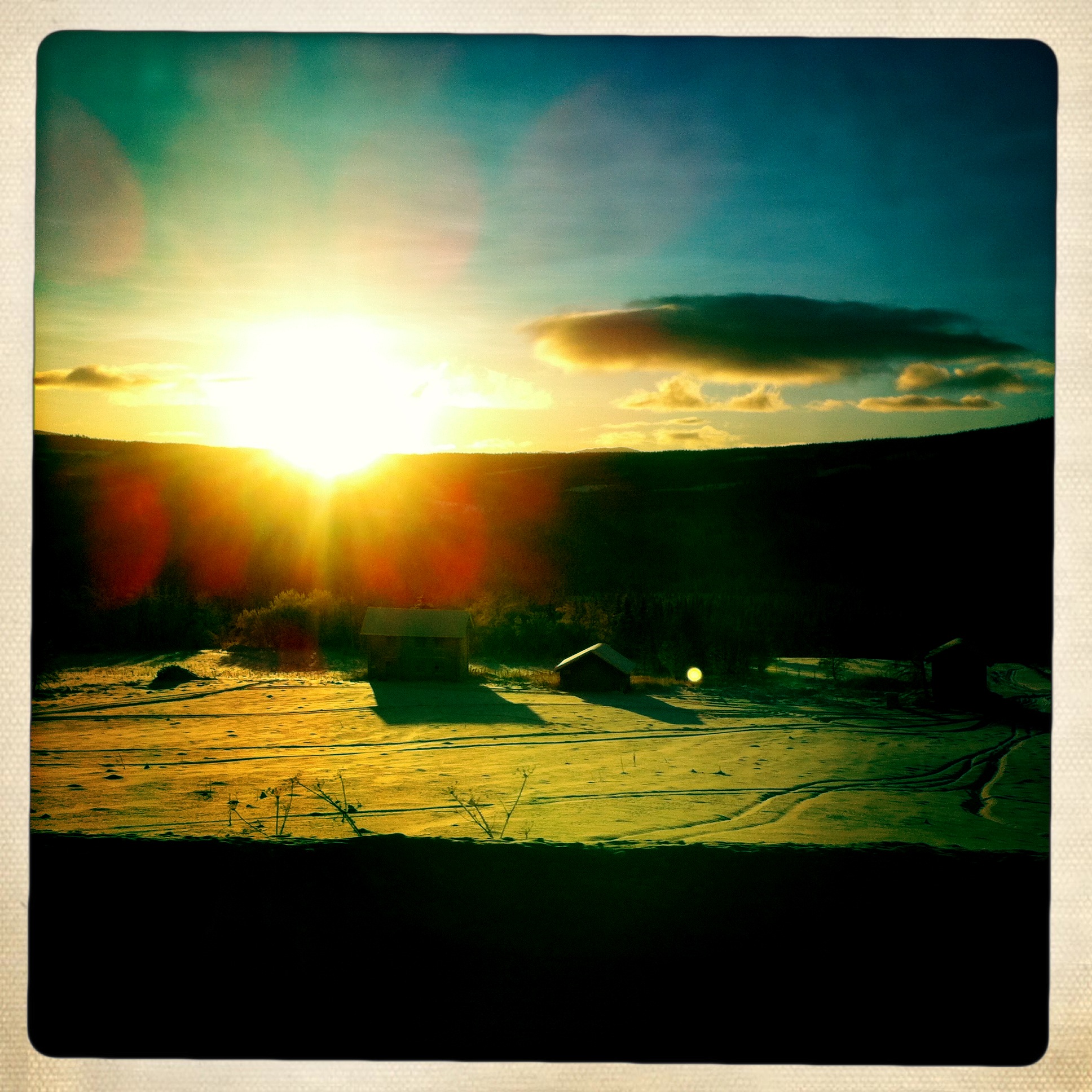
Setting Sun
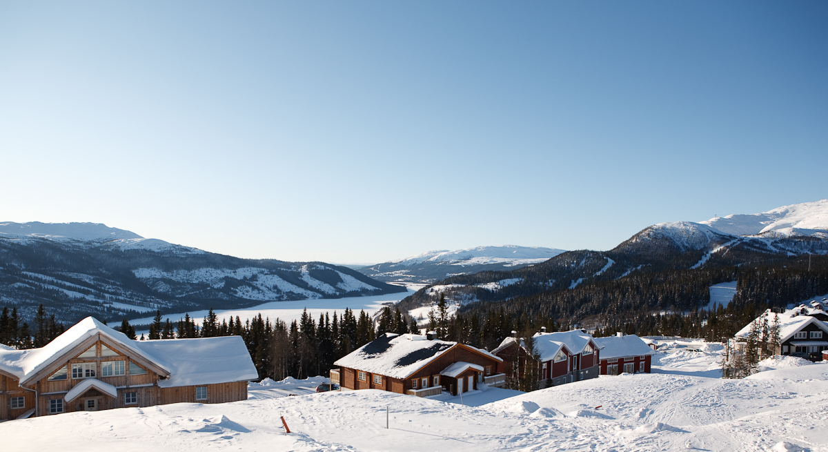
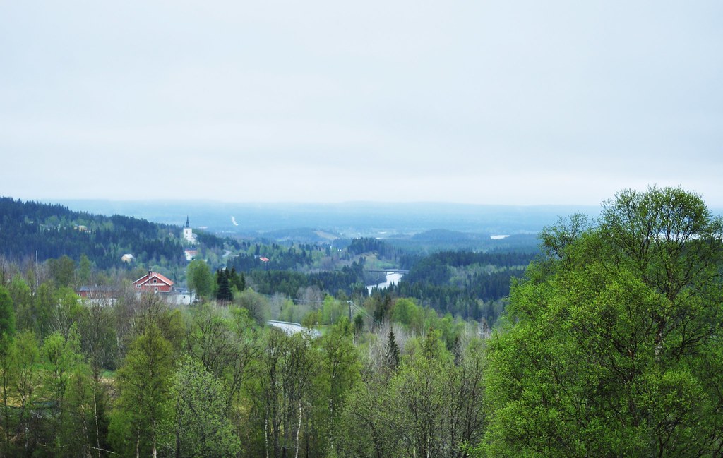
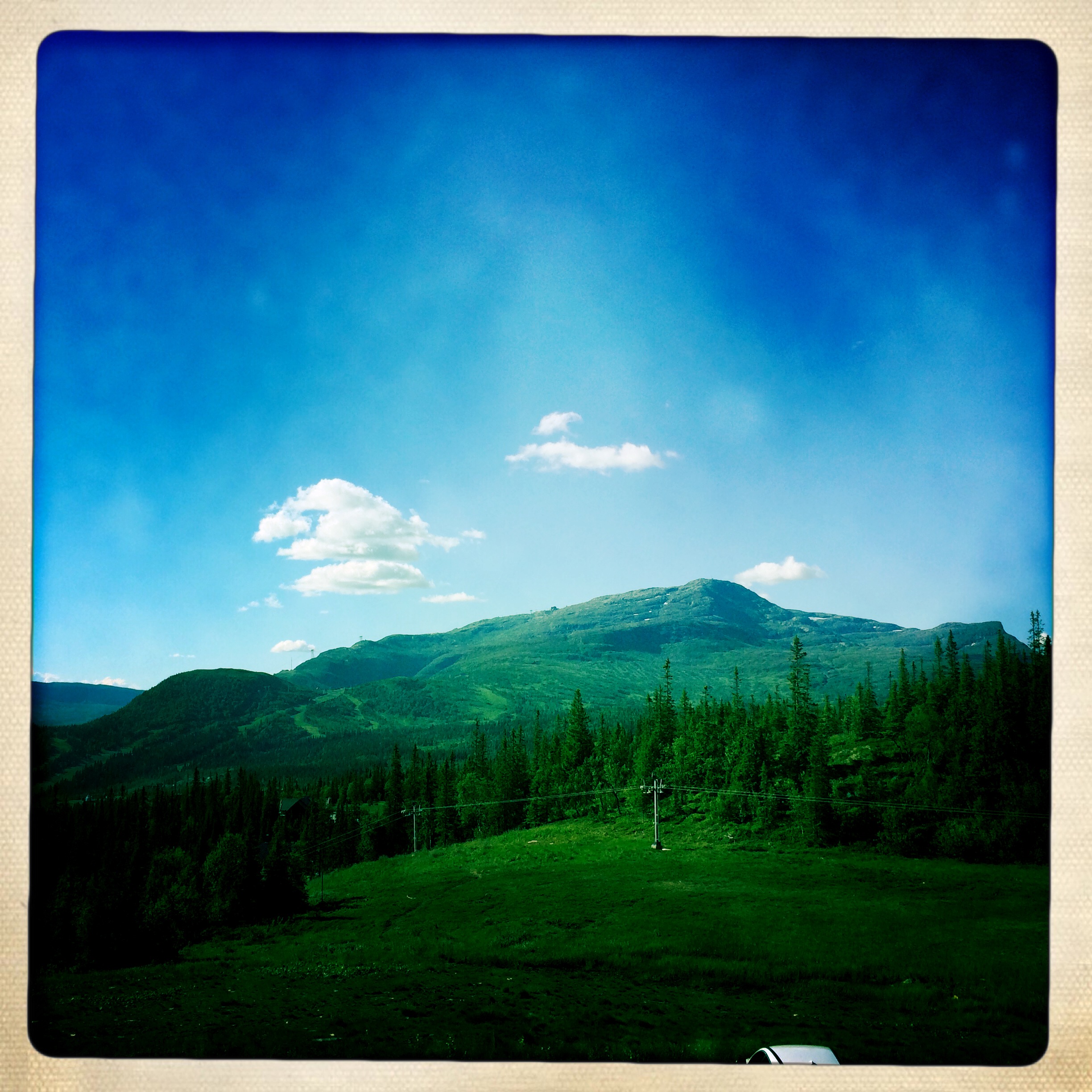
The View
Bjömänge - A Koppermine
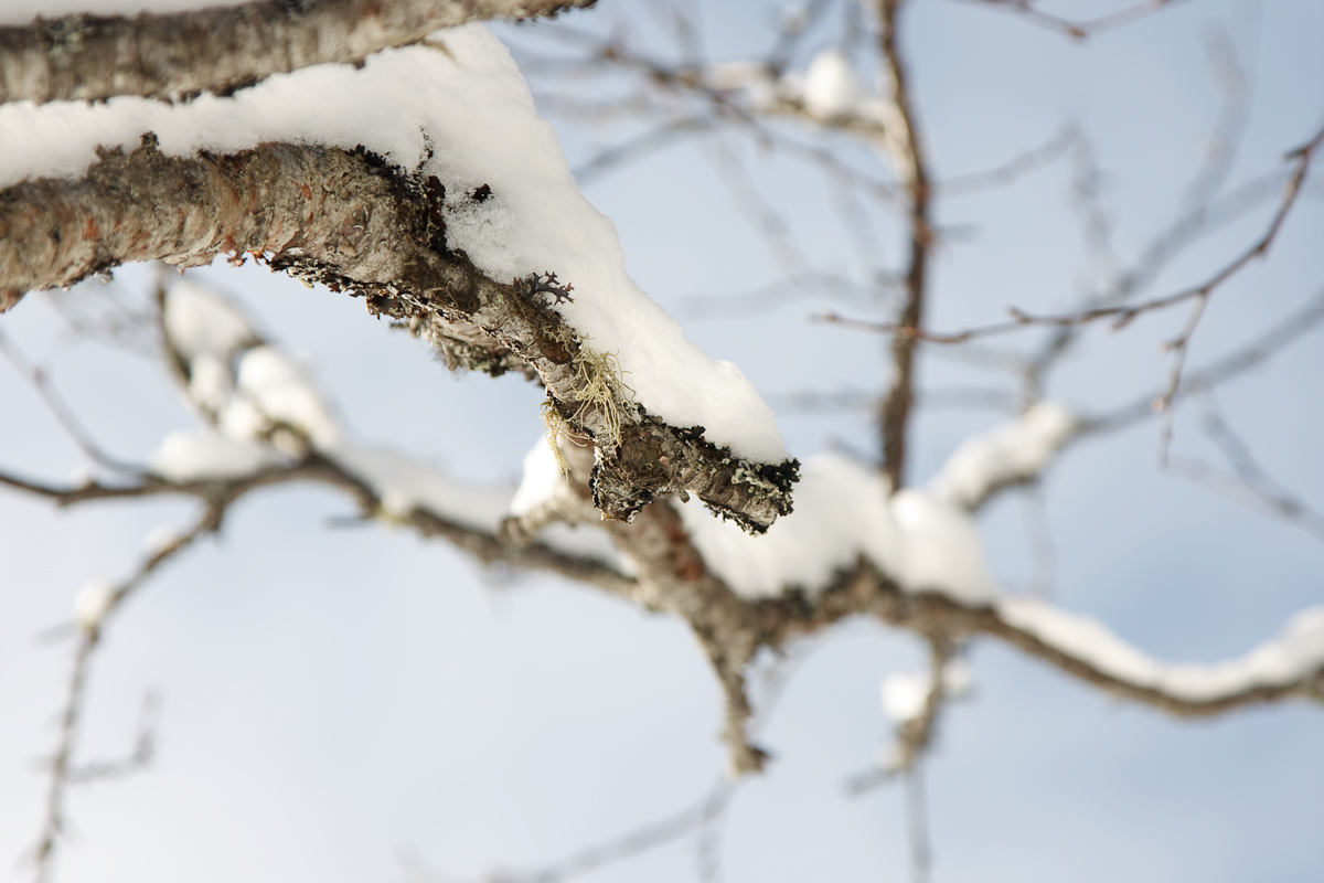
Tree Branch Covered in Snow
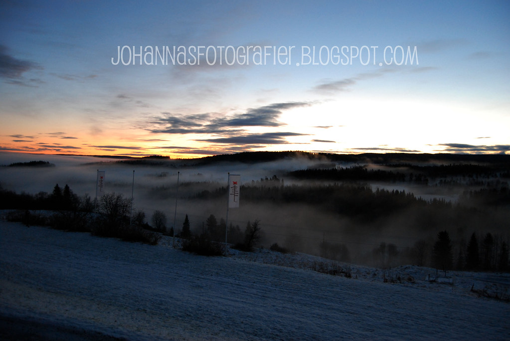
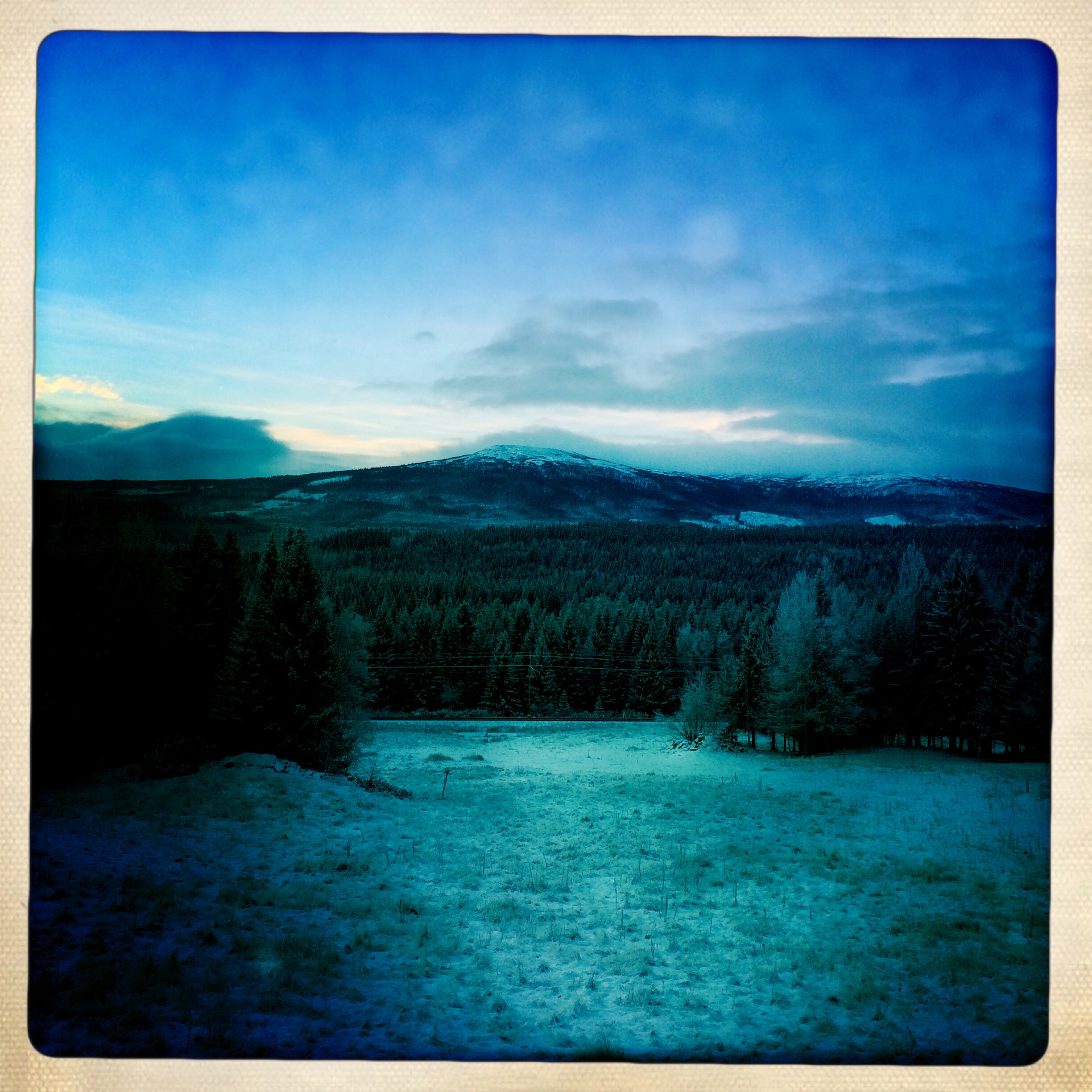
Dark Skies

Snowy Spruce
134/365.

What a view ????
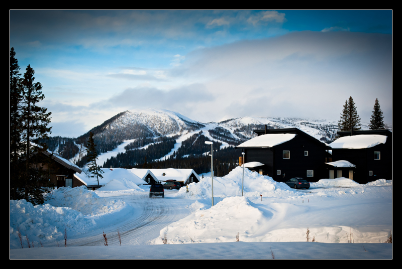
Jämtland-117

Jämtland-115
Jämtland-011
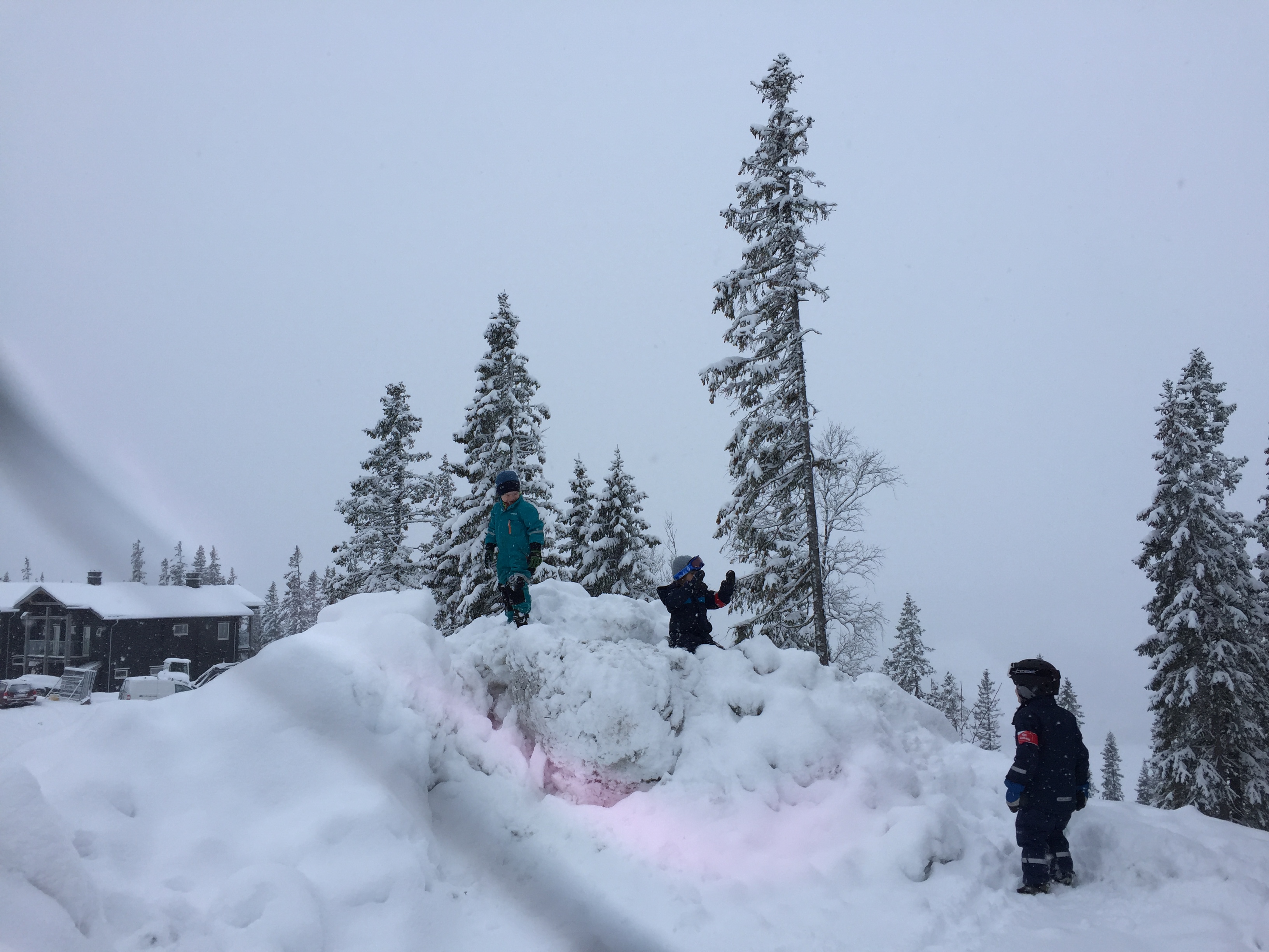
Jämtlandsjul
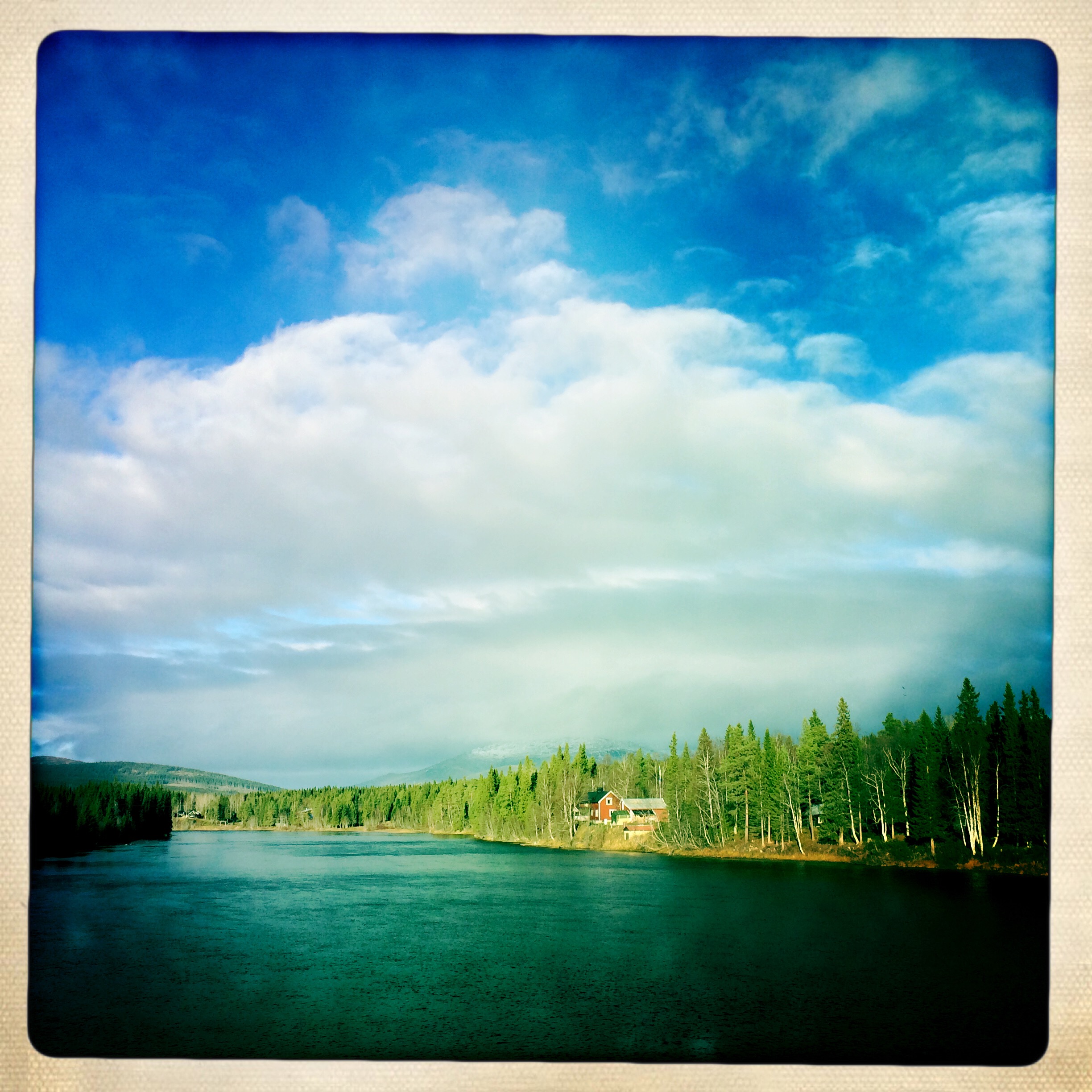
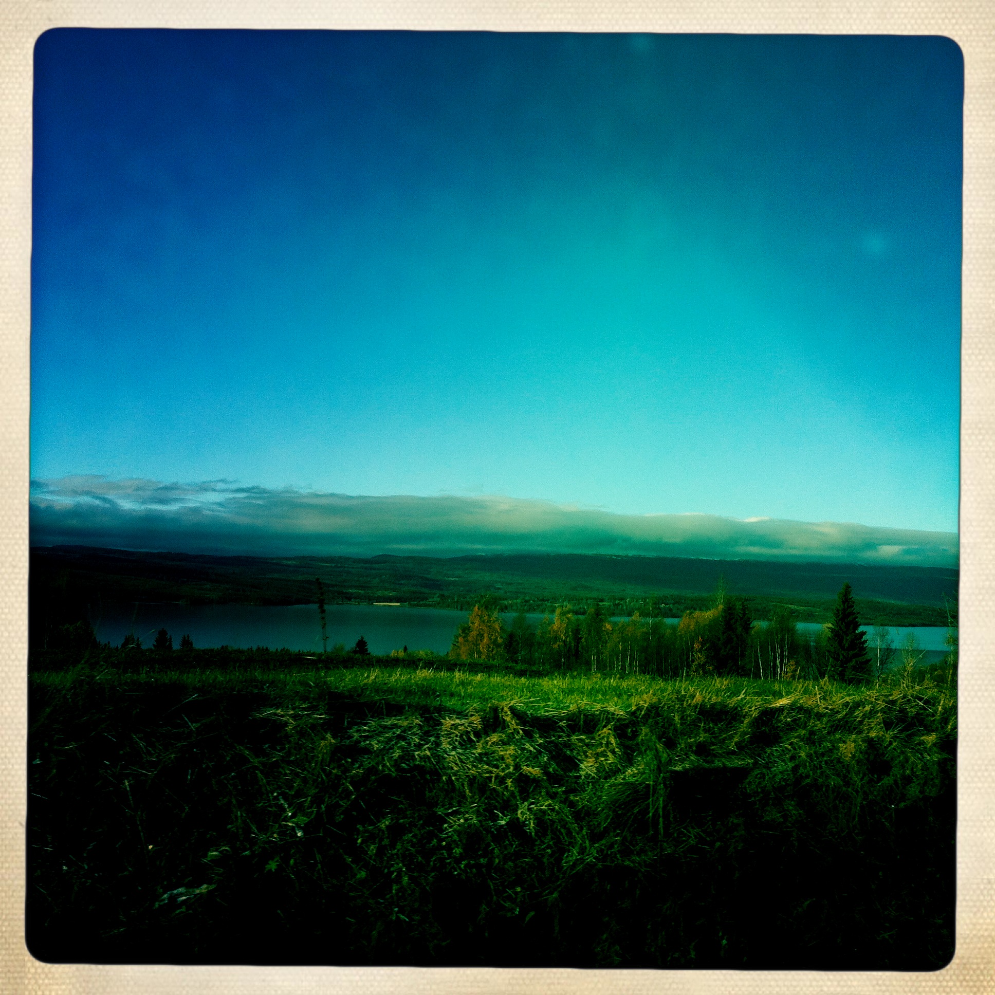
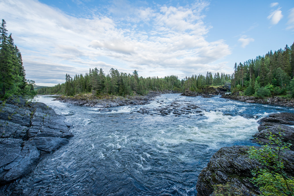
Älven

Ottsjö
Jämtland-007

Fjället

Båten
Björkarna
Hålland
Jämtlandsjul

Swedish Sunset
Copper Hill
Copper Hill
Midsommar i Jämtland
Sweden, Åre
Jämtland
Jämtland-008
JPAS20150826-2666.jpg
Snöhögen
Topographic Map of 05 Järpen, Sweden
Find elevation by address:

Places in 05 Järpen, Sweden:
Places near 05 Järpen, Sweden:
Tallstigen 11, 05 Järpen, Sweden
Nyland
Björnen Norra Hermelinen
Nordbyn
Åreskutan
Åre
Skistarshop Åre Torg
Rodkullen
Övre ÖNET, 51 Offerdal, Sweden
Krokom Nv
Duved
Offne, 47 Trångsviken, Sweden
Offne
Åre N
Åre Municipality
JÄVSJÖN, 05 Järpen, Sweden
Björkede
Björkede, 05 Järpen, Sweden
Skåle
Rv 60, Sørli, Norway
Recent Searches:
- Elevation of Lampiasi St, Sarasota, FL, USA
- Elevation of Elwyn Dr, Roanoke Rapids, NC, USA
- Elevation of Congressional Dr, Stevensville, MD, USA
- Elevation of Bellview Rd, McLean, VA, USA
- Elevation of Stage Island Rd, Chatham, MA, USA
- Elevation of Shibuya Scramble Crossing, 21 Udagawacho, Shibuya City, Tokyo -, Japan
- Elevation of Jadagoniai, Kaunas District Municipality, Lithuania
- Elevation of Pagonija rock, Kranto 7-oji g. 8"N, Kaunas, Lithuania
- Elevation of Co Rd 87, Jamestown, CO, USA
- Elevation of Tenjo, Cundinamarca, Colombia